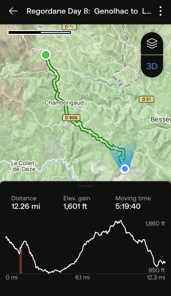
At least for this trip. Todaìy we reached both the halfway point on the Regodane and the last long climb before leaving the mountains. We are now heading downhill into the Mediterranean climate zone. Here is the updated chart.
If you would like to see the virtual trail video clip, click this link.
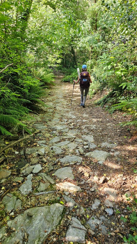
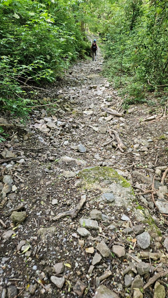
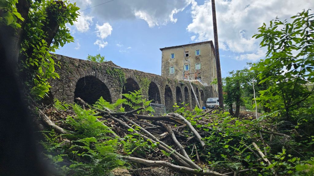
The Regordane was a mercantile route for several centuries. At one time, they hauled material using carts, and as the roads degraded, they began using donkeys. That practice continued until the 19th century and train lines were created. There are a number of sections that appear to have been roads, but those sections are interspersed with rocky terrain that is sometimes nearly impassable.
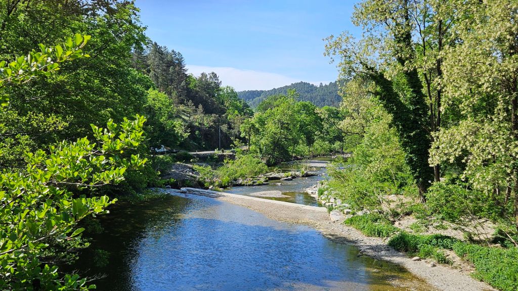
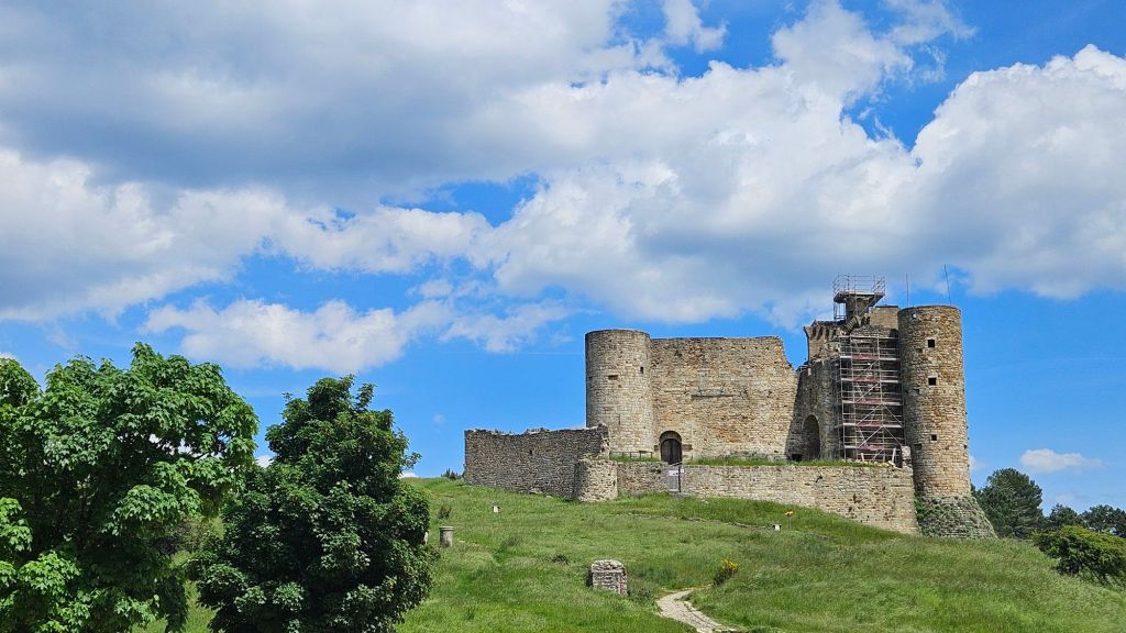
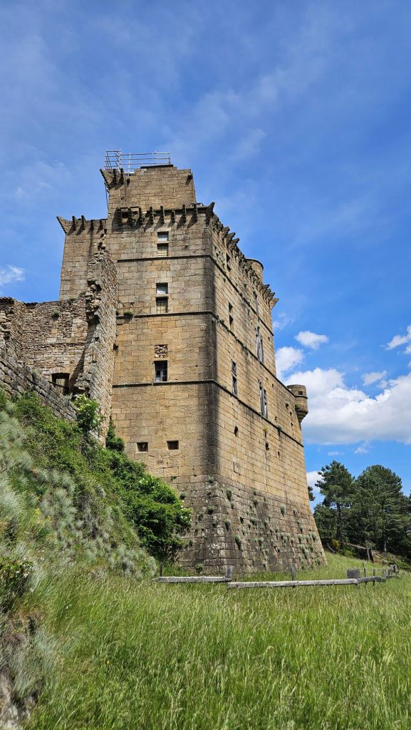
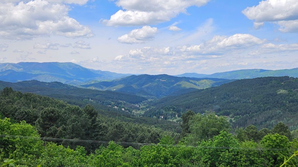
I actually felt a bit sad seeing these mountains for the last time in this journey. Tomorrow we will hike to Alès (formerly spelled Alais) as we continue to drop in elevation to near sea level. It will be warmer and start becoming more densely populated as we approach the Mediterranean coast.
