Today was a fairly easy walk. The first five miles were on pavement, which was good since we didn’t have to clambor over rocks and roots, but a little hard on the feet. The waymarking was a bit shady in the afternoon, which got us off track a couple of times. Once, we ended up at an airplane landing strip and followed a trail in the right direction until we merged back with the Regodane. The second time, we got stuck in a barley field with no apparent way when a hedgerow crossed the trail, and we had to find a way around it. We finally got to a road but then had to find a way across a deep ditch.
Through impressive use of our powers of observation (which had earlier lapsed, getting us into the situation) we prevailed. We actually ended up with a net saving of 0.5 kilometers from the official distance.
Here is today’s graphic.
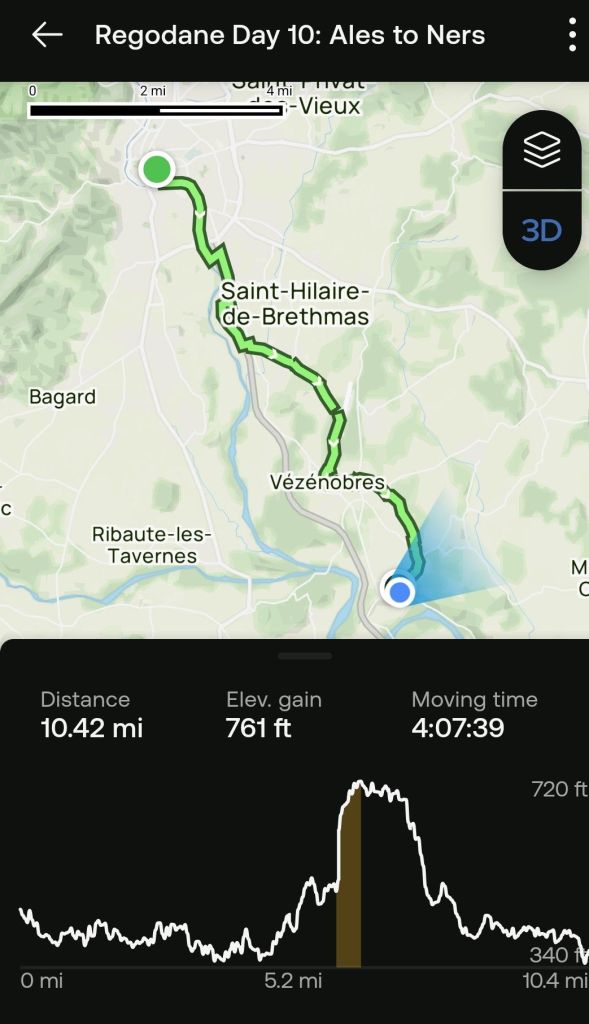
The elevation profile chart looks formidable, but it wasn’t that bad. The tracking app turned itself off a couple times, which compressed the horizontal axis a bit. If you wish to view the recap video, click this link.
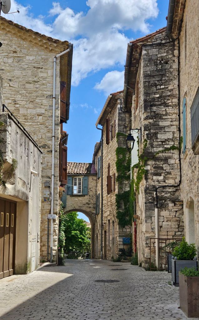
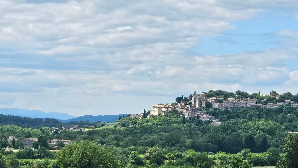
The highlight of the day was walking through the village of Vézénobres, which is a medieval fortress city, and was an important stop along the Regordane and the Chemin de Saint Gilles.

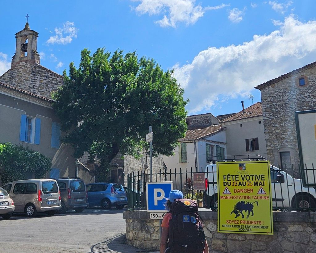
We took a long break at Saint Hilaire de Brethmas as we rested our weary feet. Our bench was in the shade, right across from the town church.
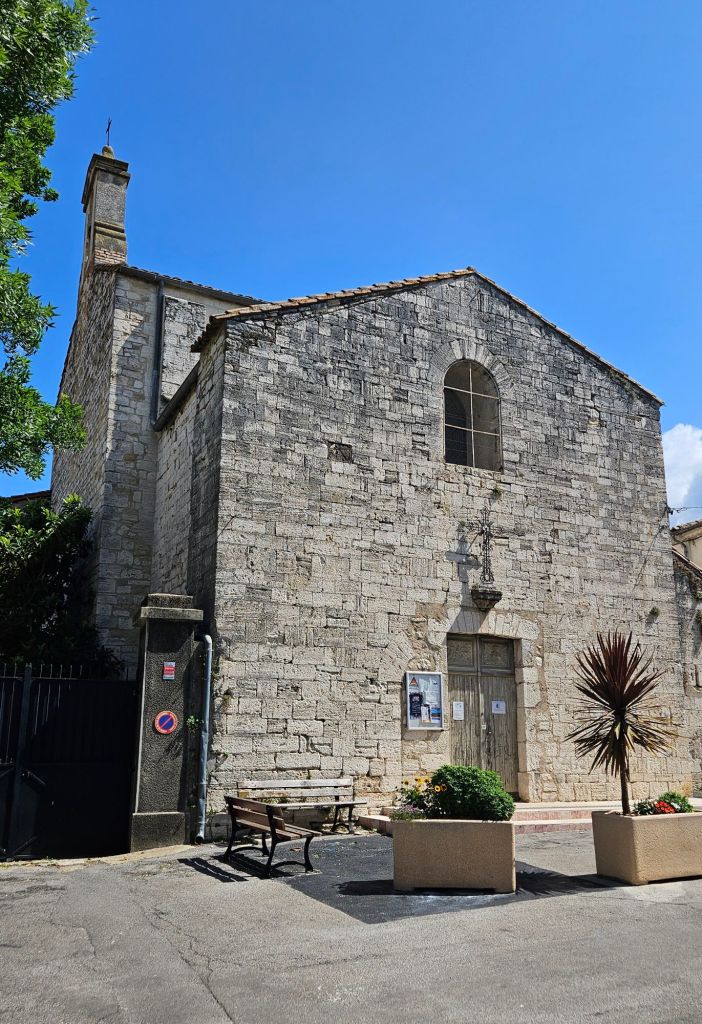
The door was locked, as have been many of the Catholic churches in the Cevennes. I think they still don’t trust those Huguenots to not burn them down, given the chance.
We are missing the festival in Saint Hilaire that is happening today and tomorrow, featuring the “manifestation” of the bulls.
I am sure there is no occult meaning behind this.
Later.
