The best laid plans. . .

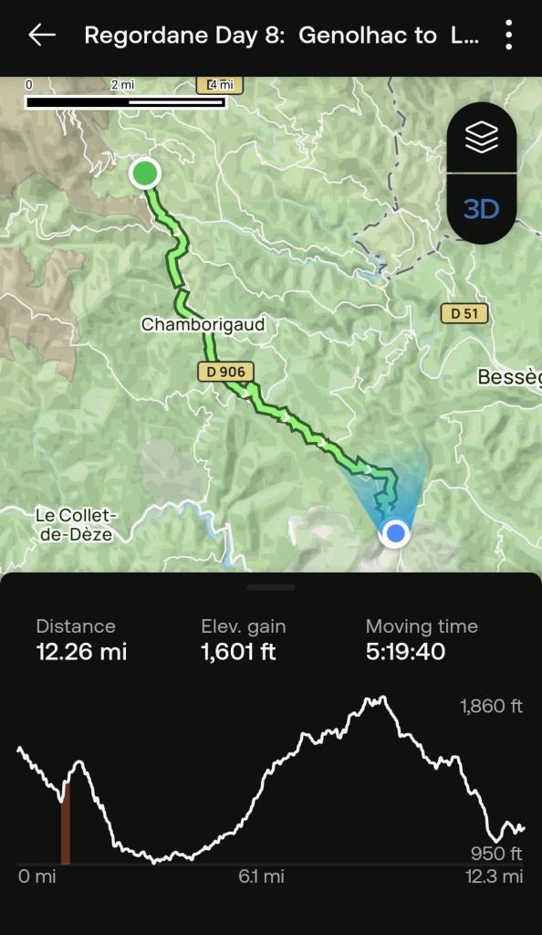
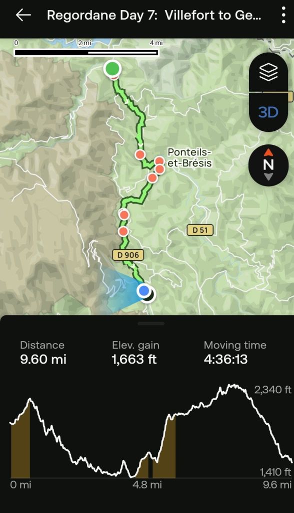
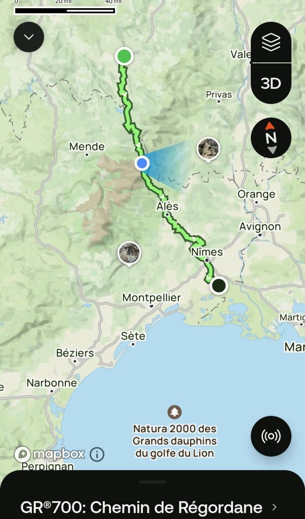
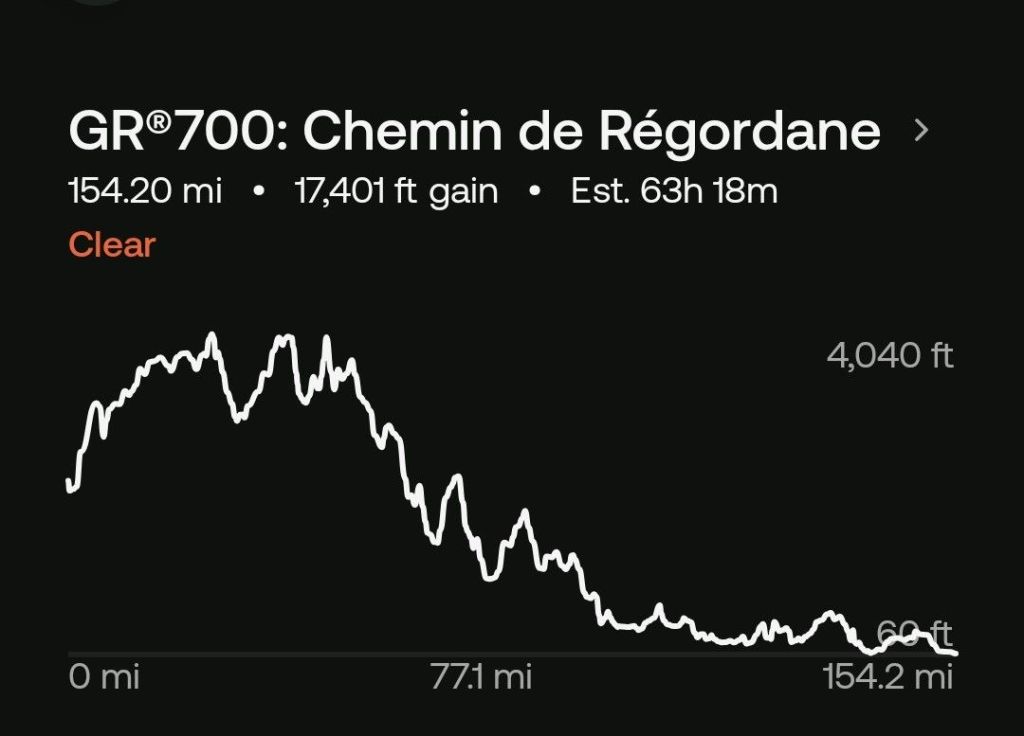
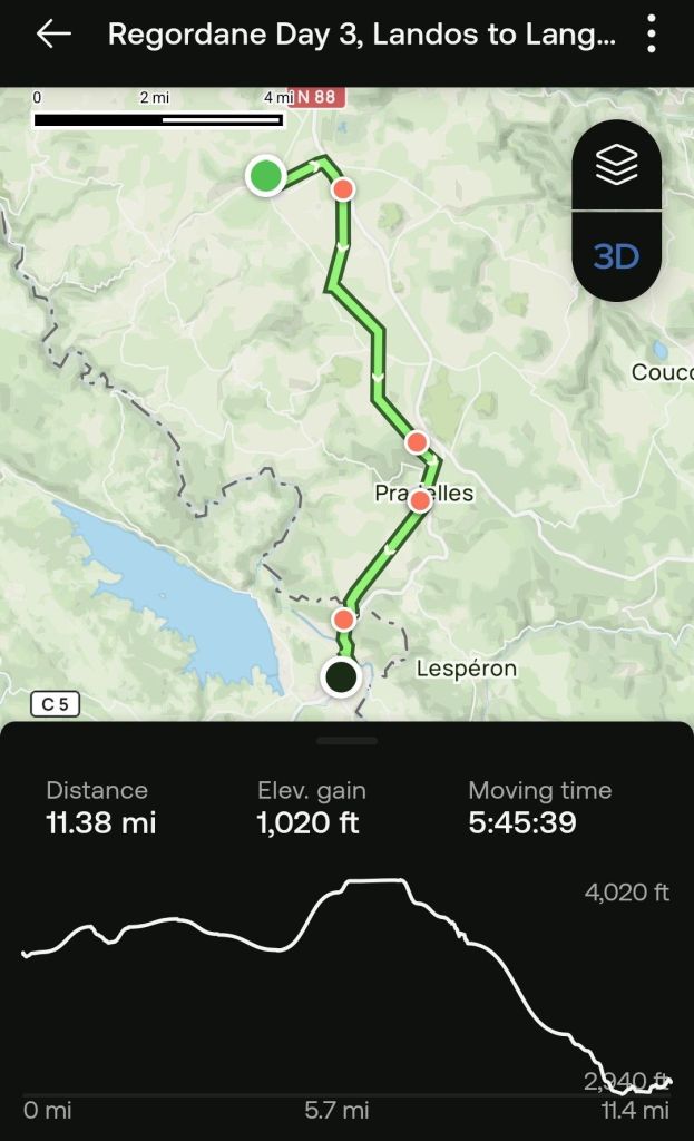
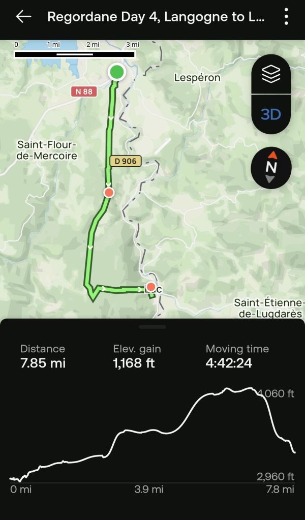
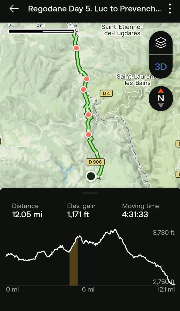
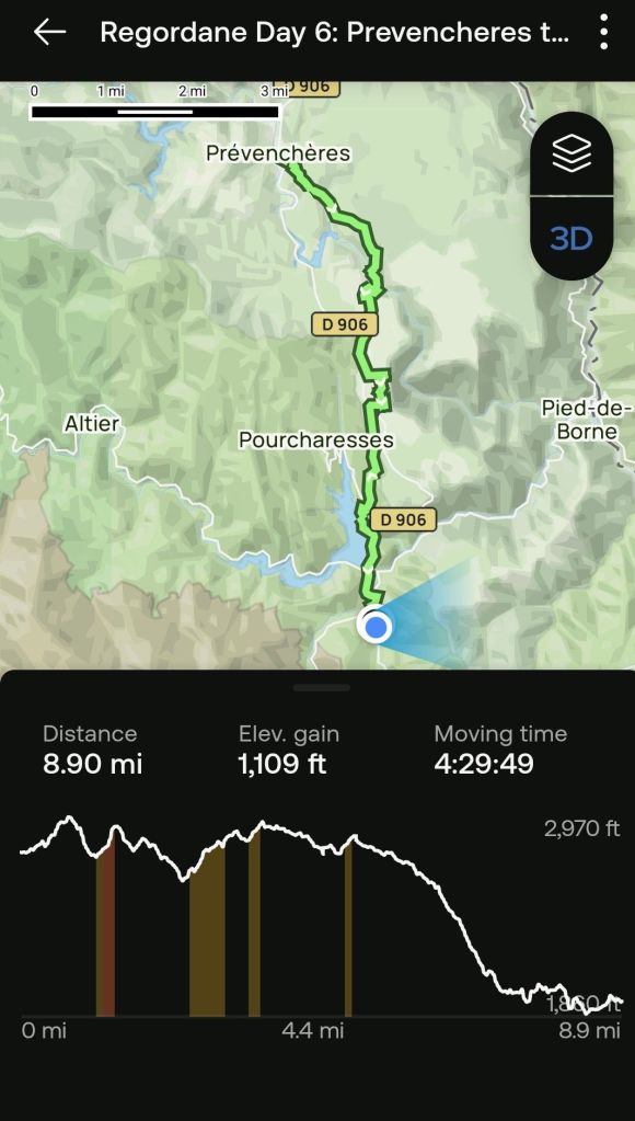
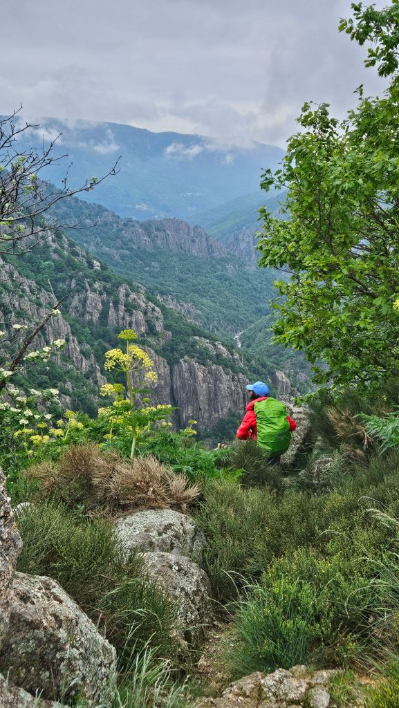
Someday I will remember that reality has plans of its own. Yesterday I was confident that today’s hike would be a simple matter,  featuring a nearly one thousand foot drop in elevation over a moderately long trek.   I was certainly in for a surprise.  Nested been the two end points of today’s hike was over 1500 feet in elevation gains.

Here is the graphic for today.

Day 9

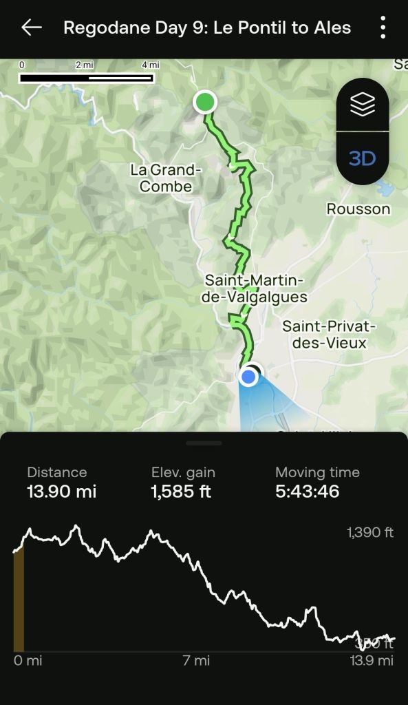
If you would like to view the replay,  it can be found here.

In addition to misjudging the elevation profile,  I also misjudged the accuracy of the AllTrails map.   Apparently, since the Alltrail map was generated,  the group that maintains the Grand Randanné has made significant changes  to the GR700 as it approaches the Ales metropolitan area.  While in the middle of a forest where the waymarking was a bit vague, I trusted the AllTrails map guide  to resolve an inconsistency and we ended up in an area where the we were separated from the trail by a fence, and there were no waymarkings to follow.  Fortunately, there are plenty of trails that can be located on Google Maps, so we eventually found ourselves and the official trail.  I guess it is adventures like this that keep us traveling.

We had considered taking a rest day tomorrow in Alès, but we did a ChatGPT query, asking whether there is any good reason to spend a few days in Alès and Chat said, “Meh!.”  Actually, I need to correct the record, since Paula is averse to me taking license in my stories. We did not queriy ChatGPT.  We got that information from Wikipedia.  However,  we will be taking a couple days off in Nimes starting on Monday.  We understand it is a beautiful city with a rich heritage.

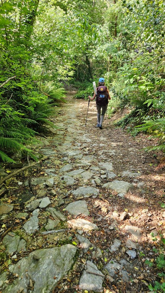
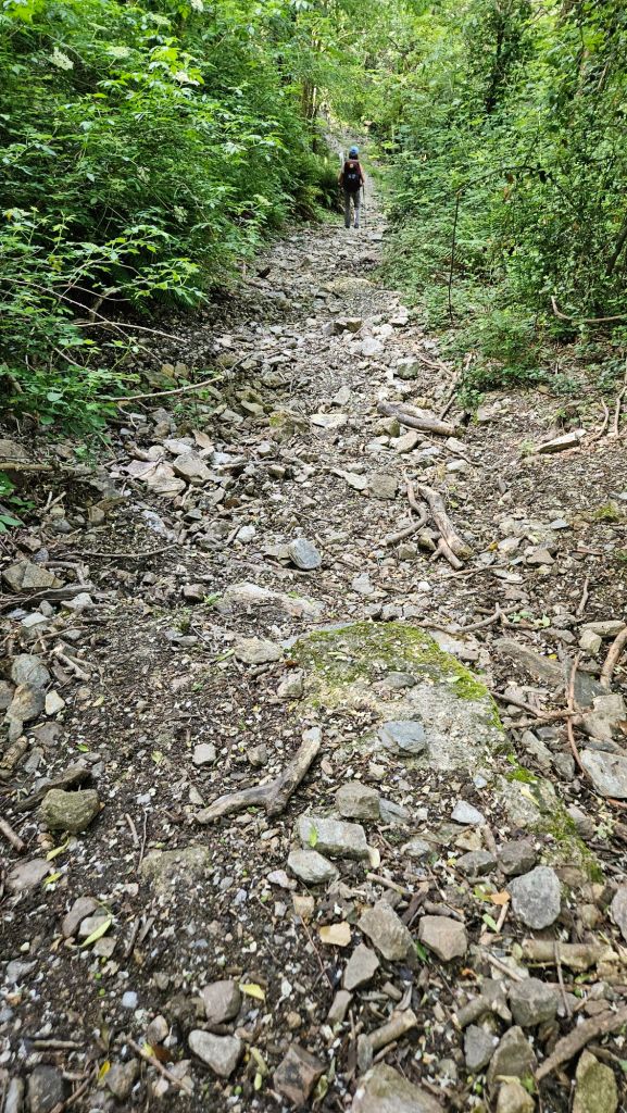
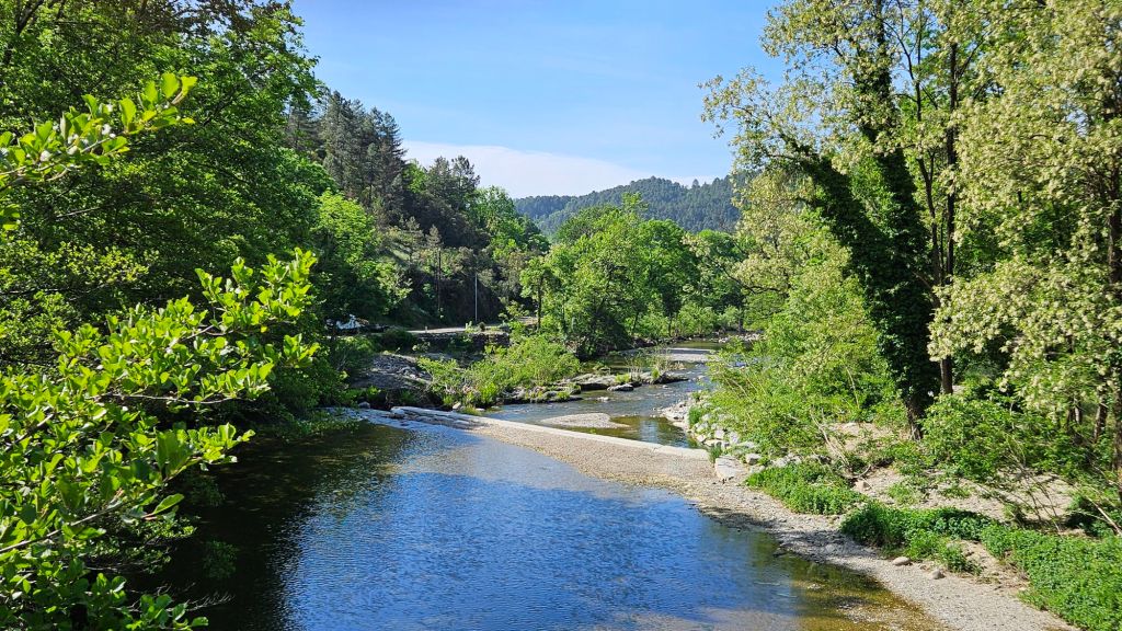
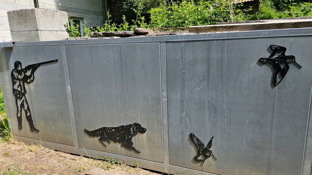
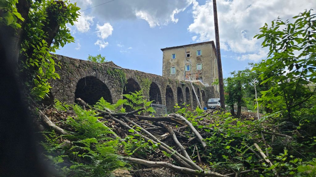
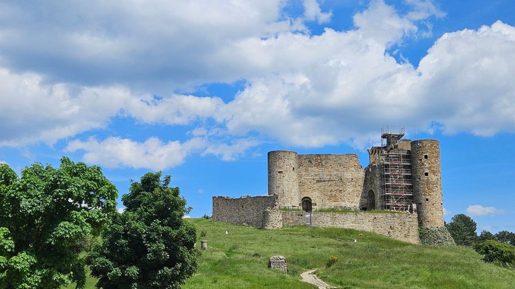
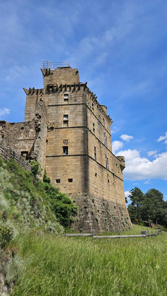
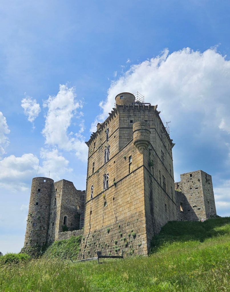
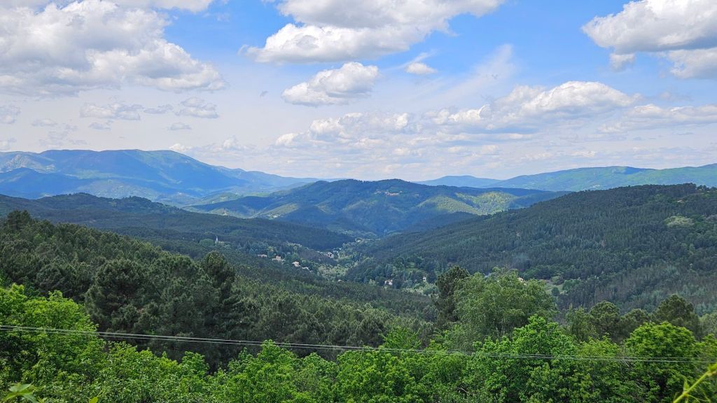
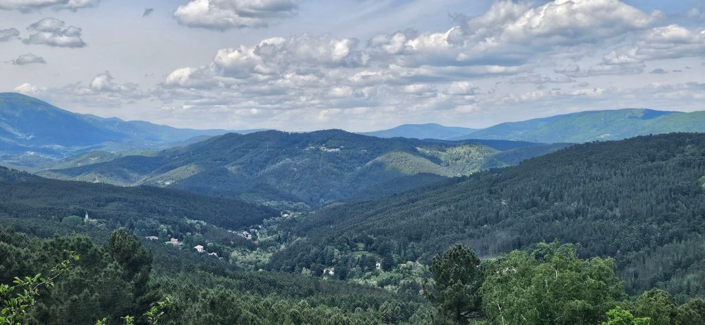
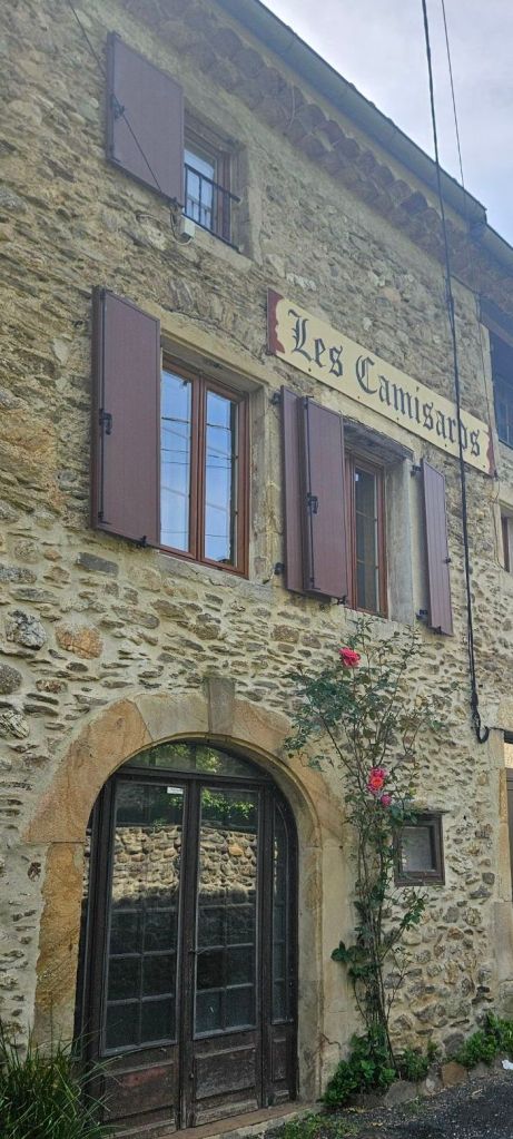
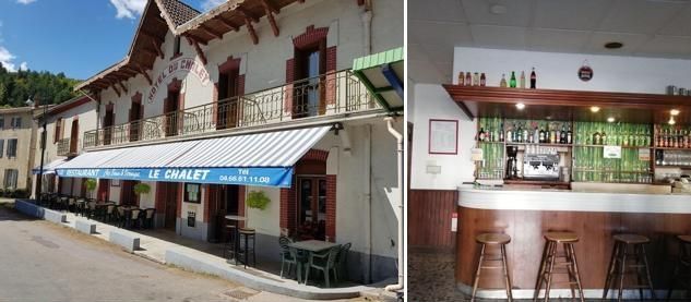
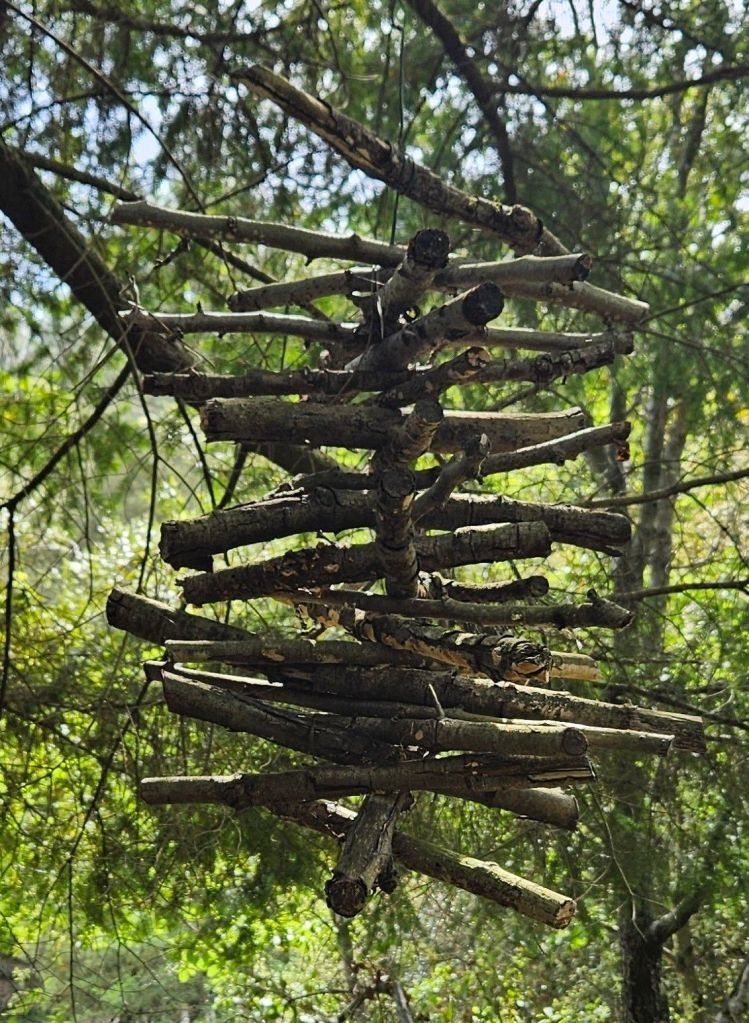
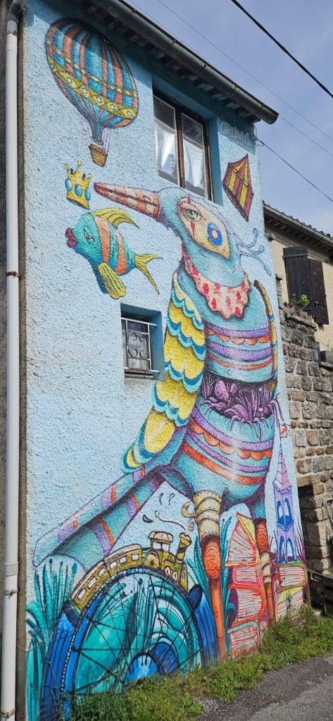
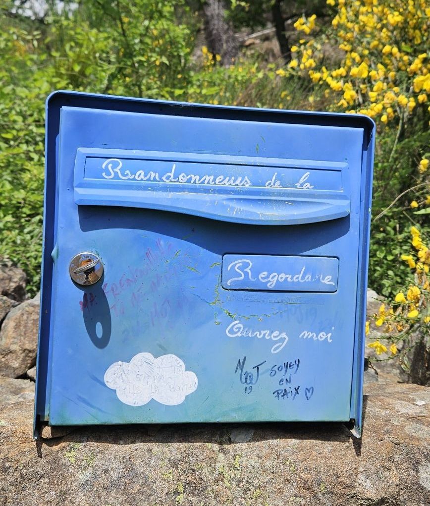
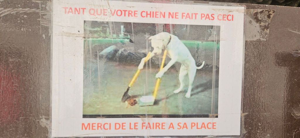
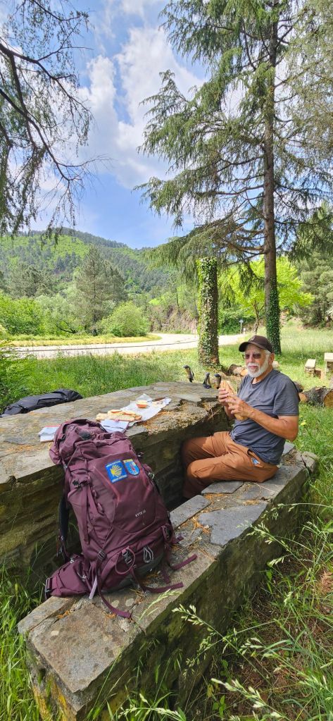
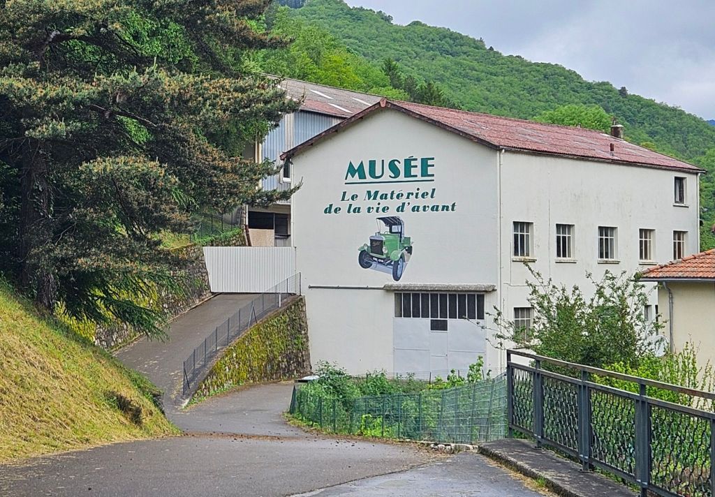
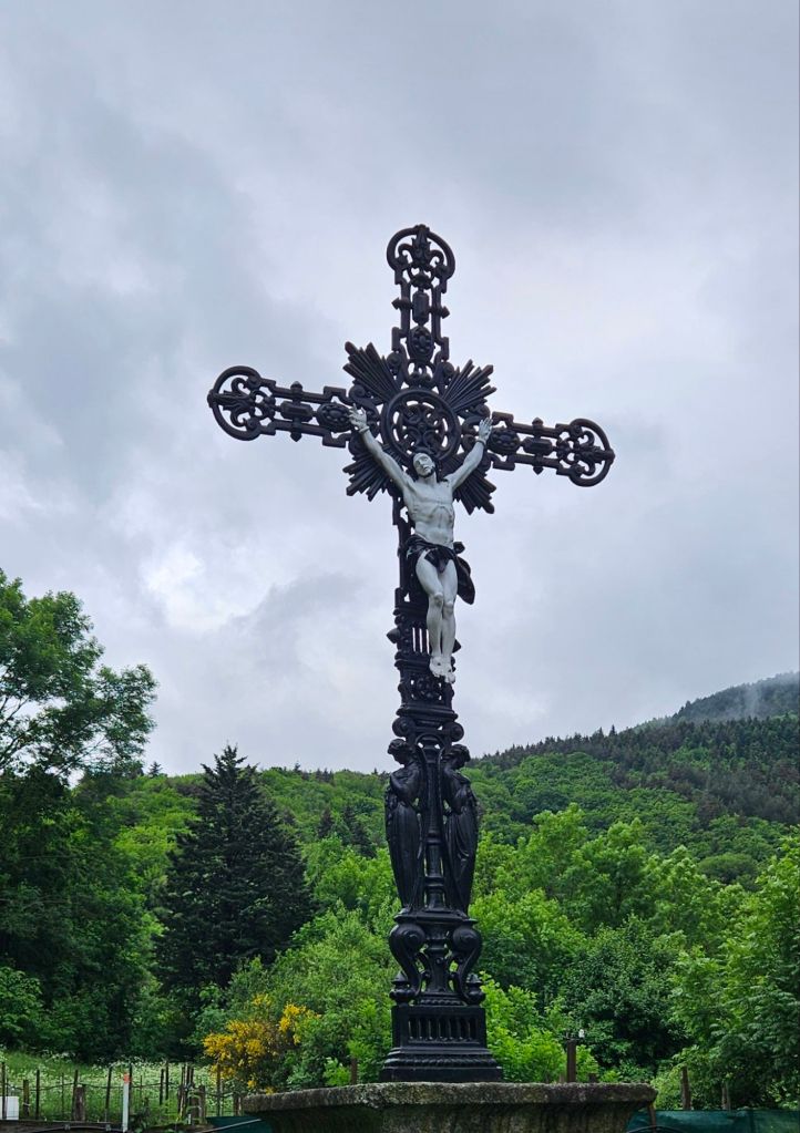
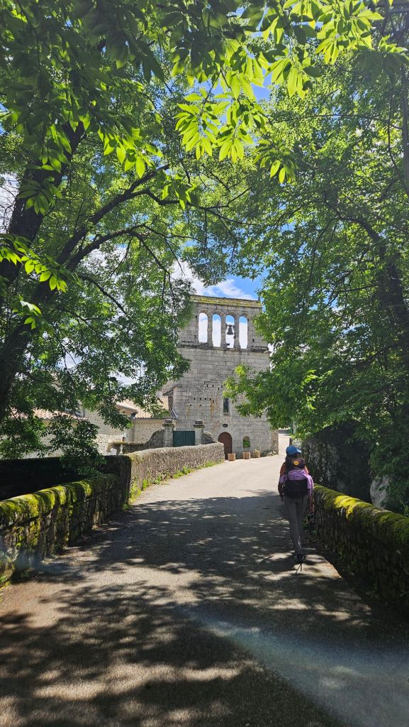
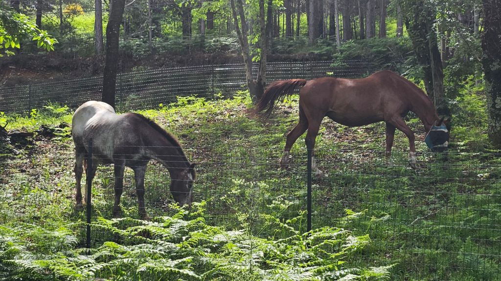
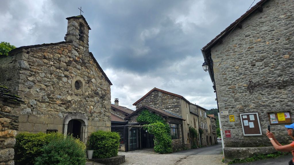
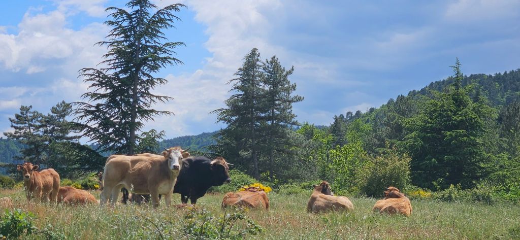
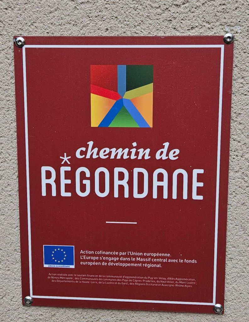
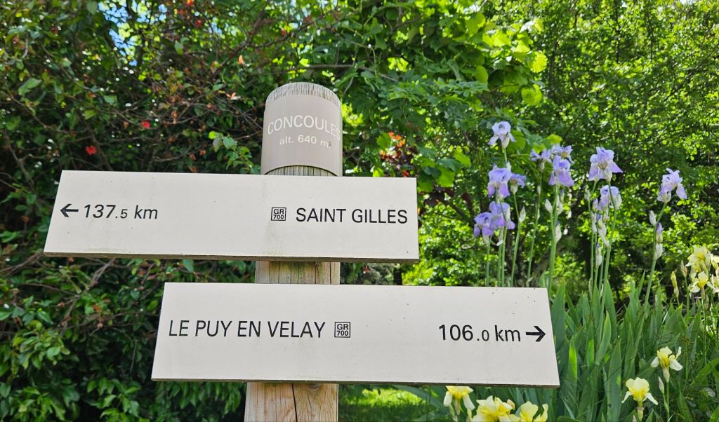
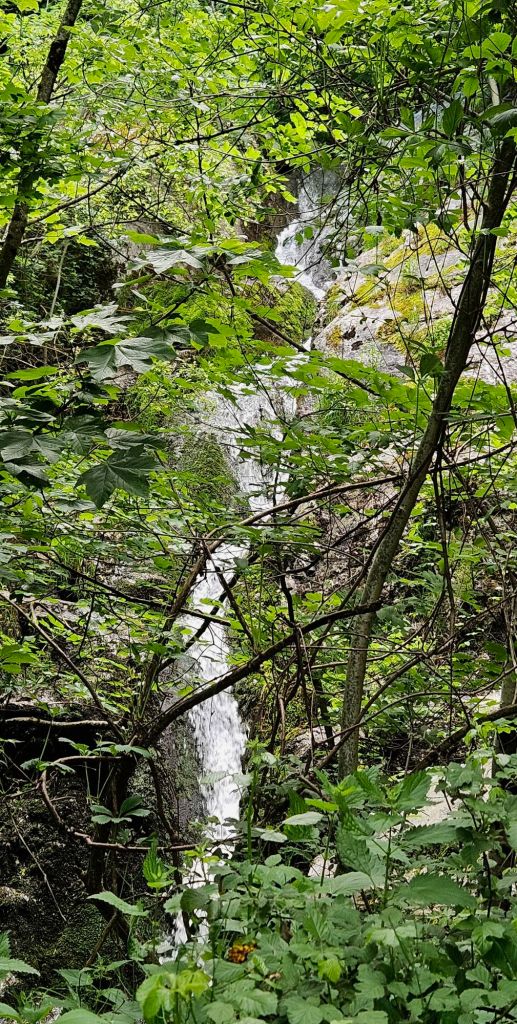
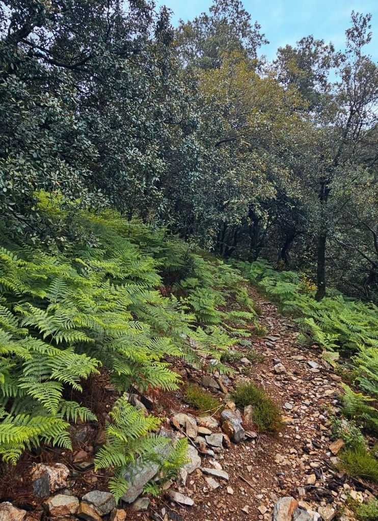
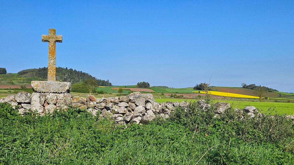
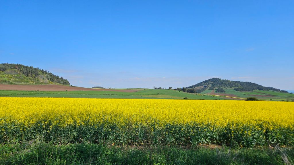
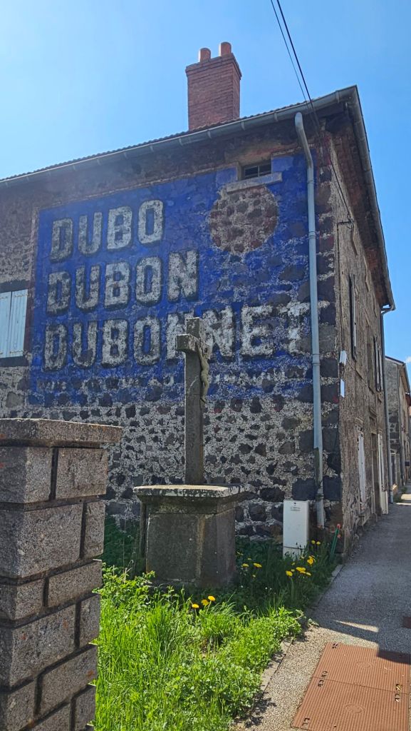
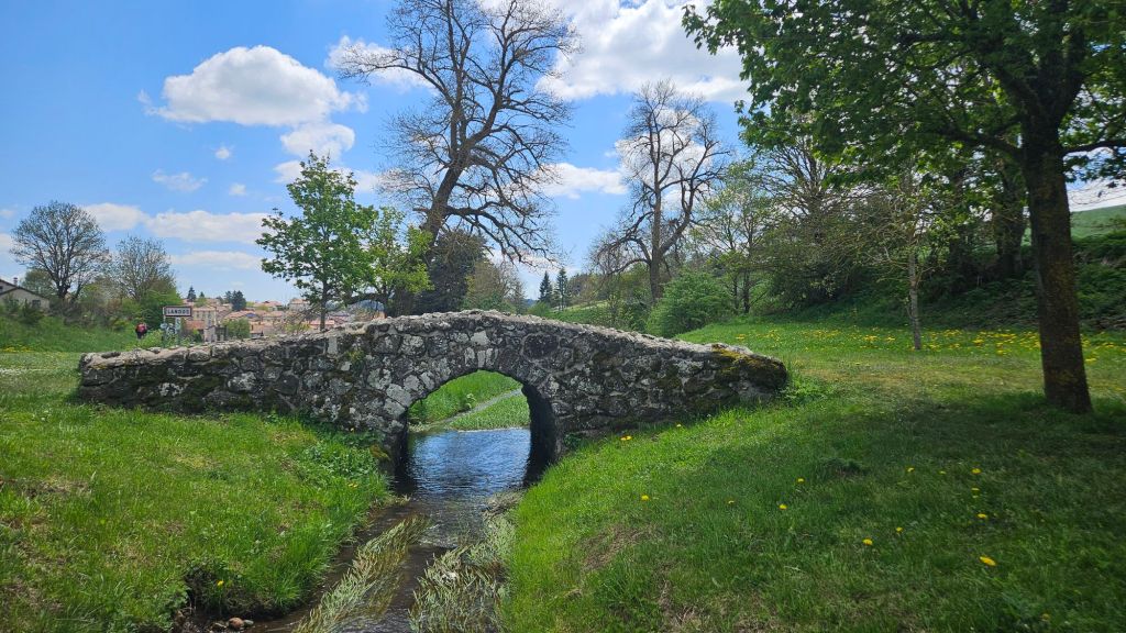
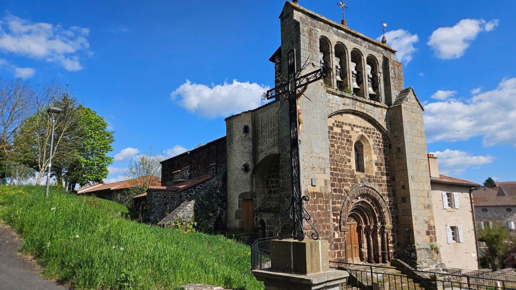
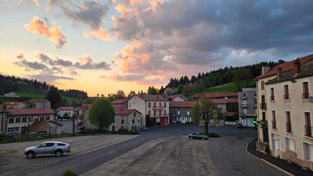
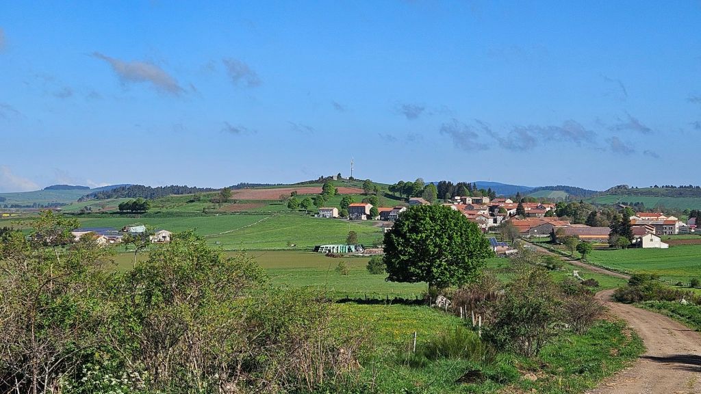
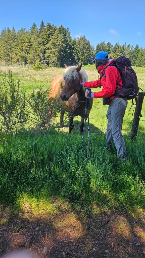
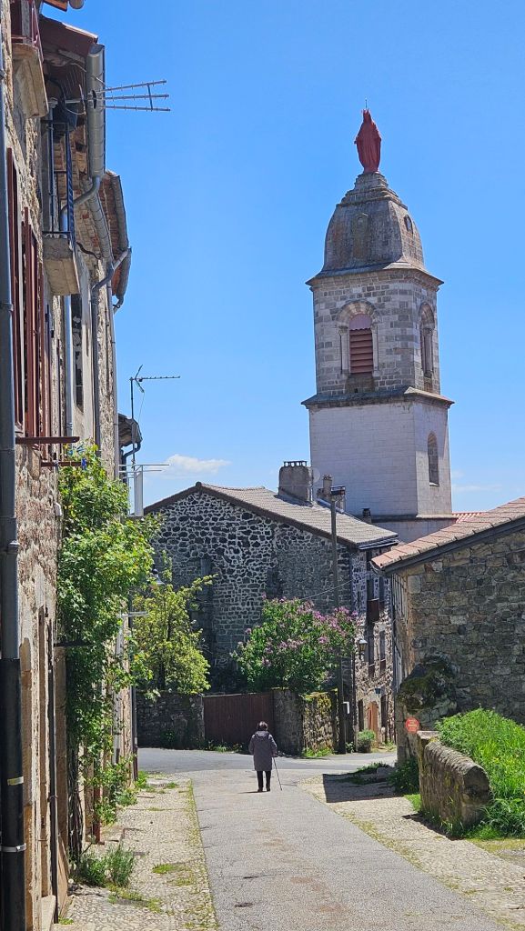
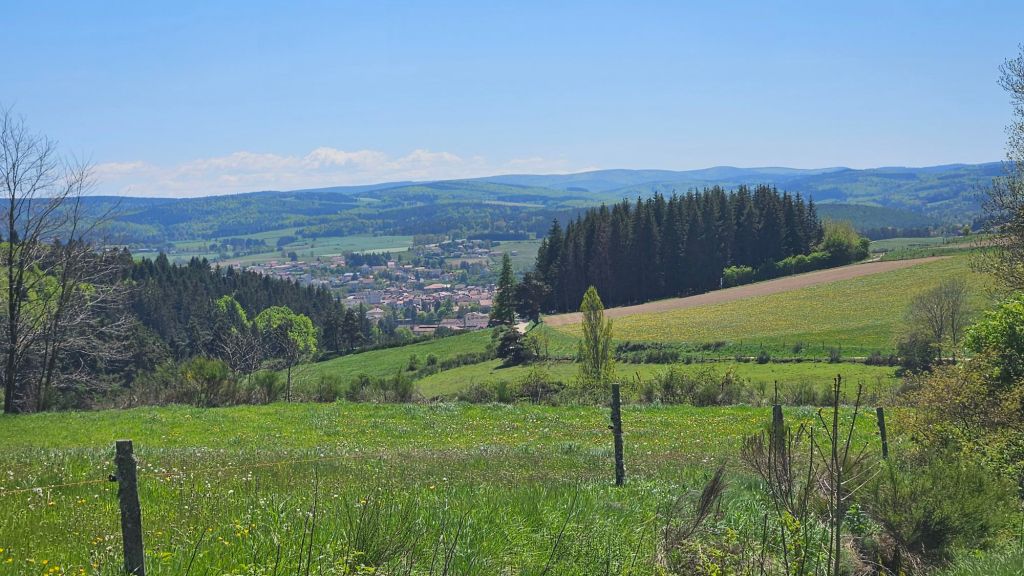
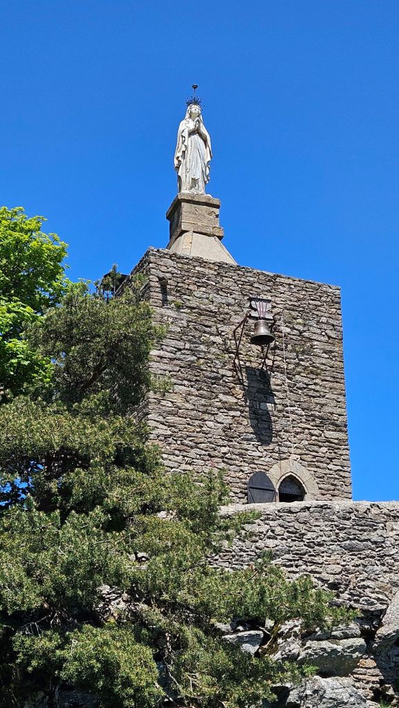
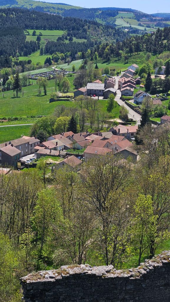
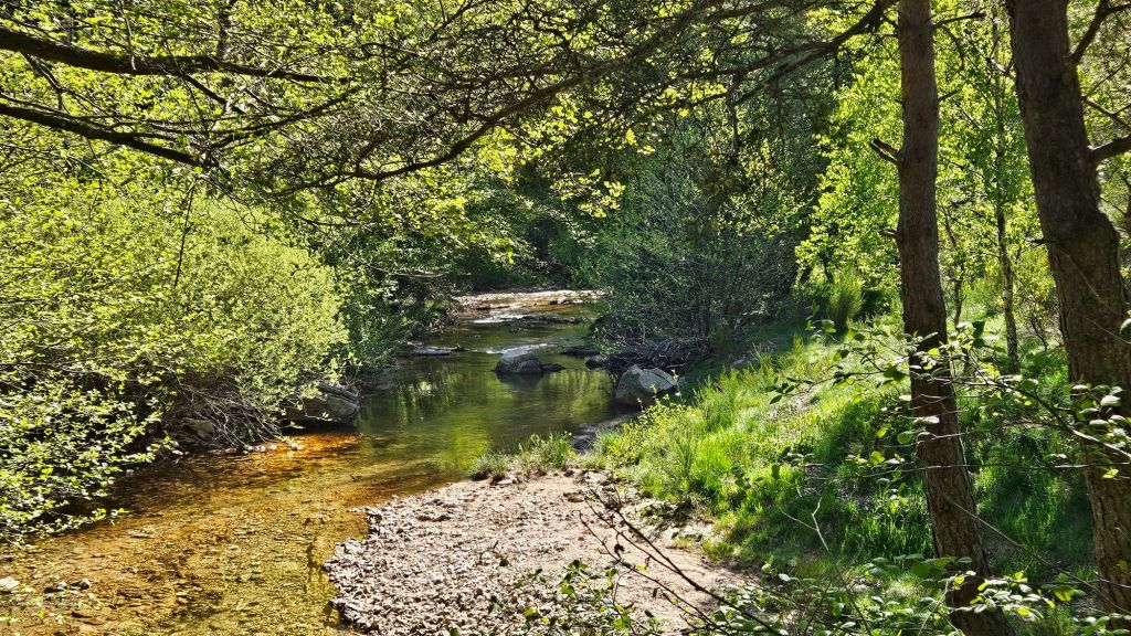
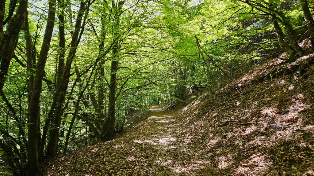
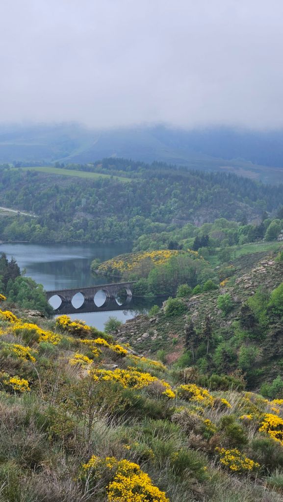
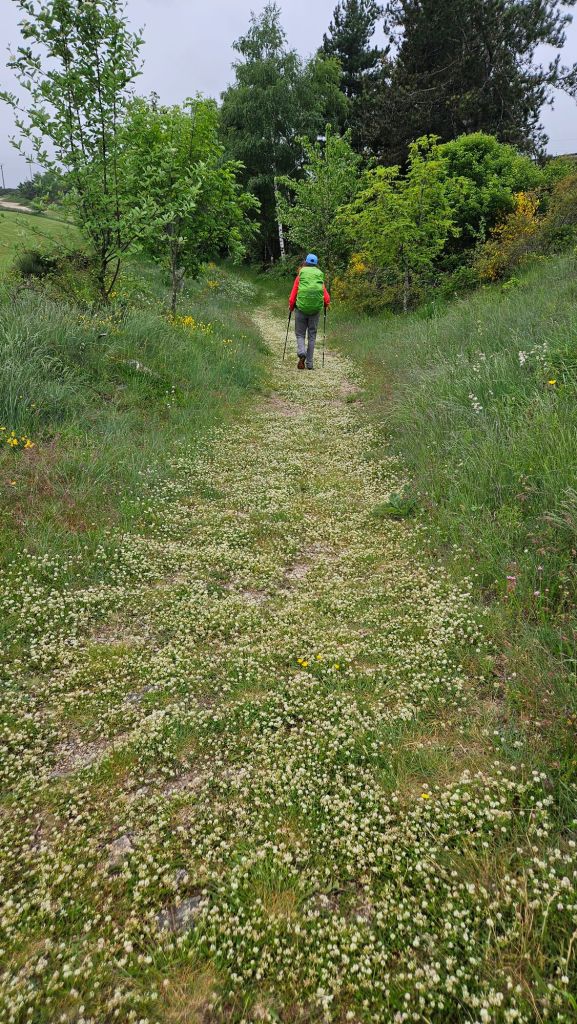
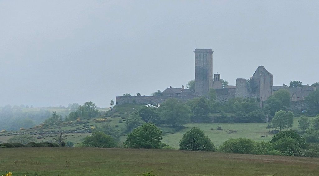
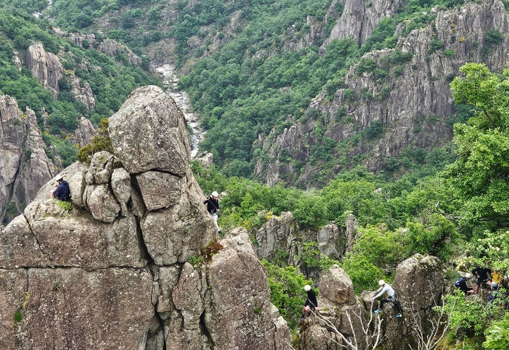
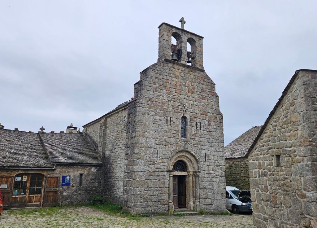
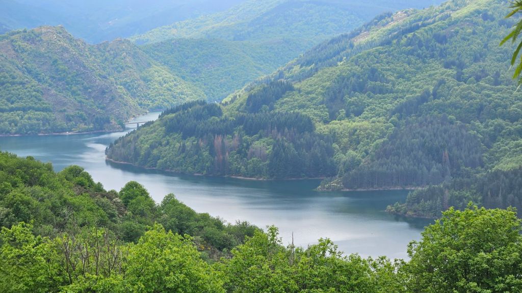
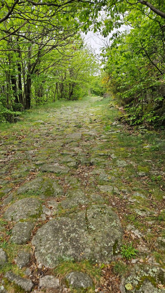
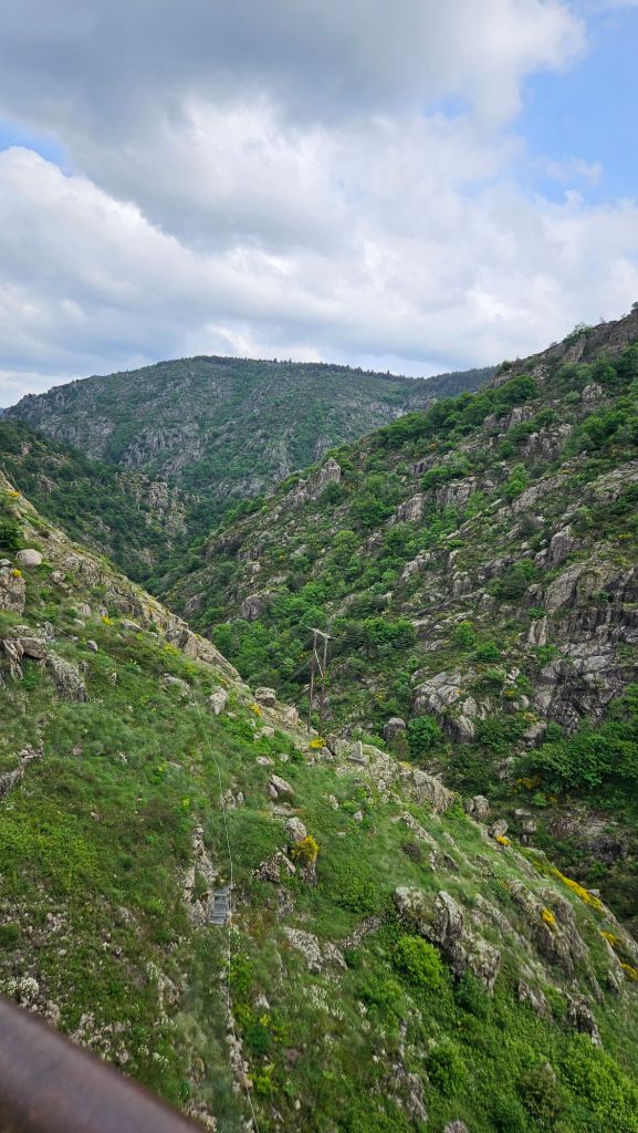
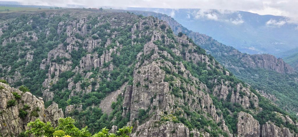
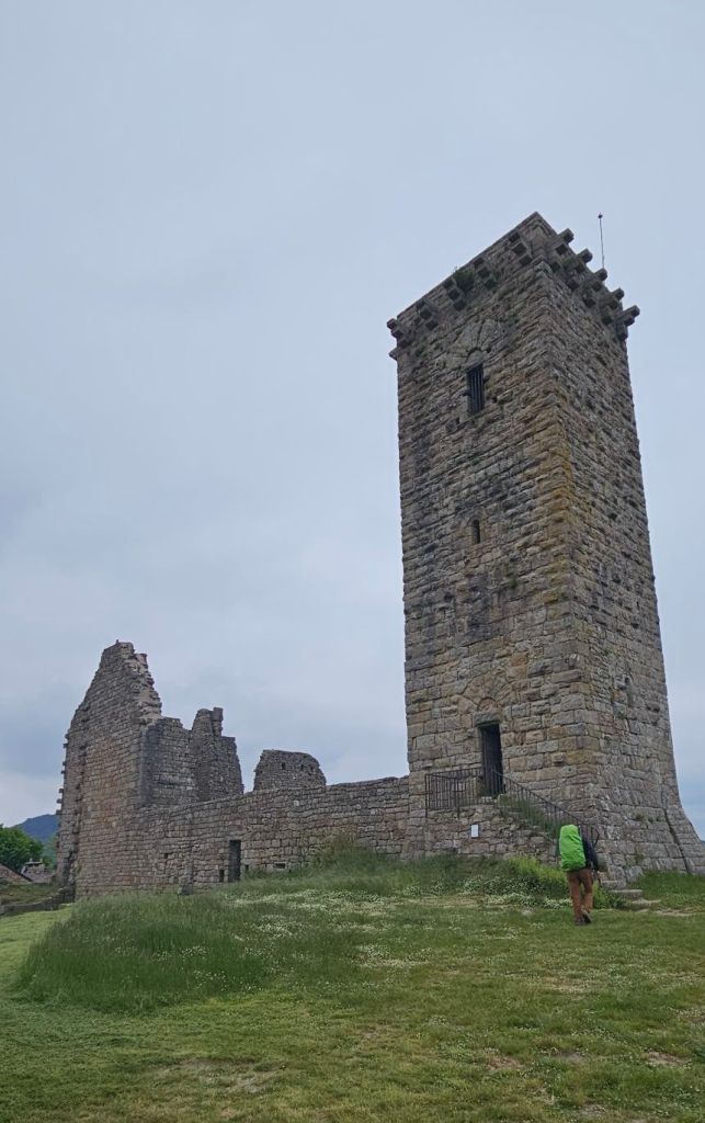
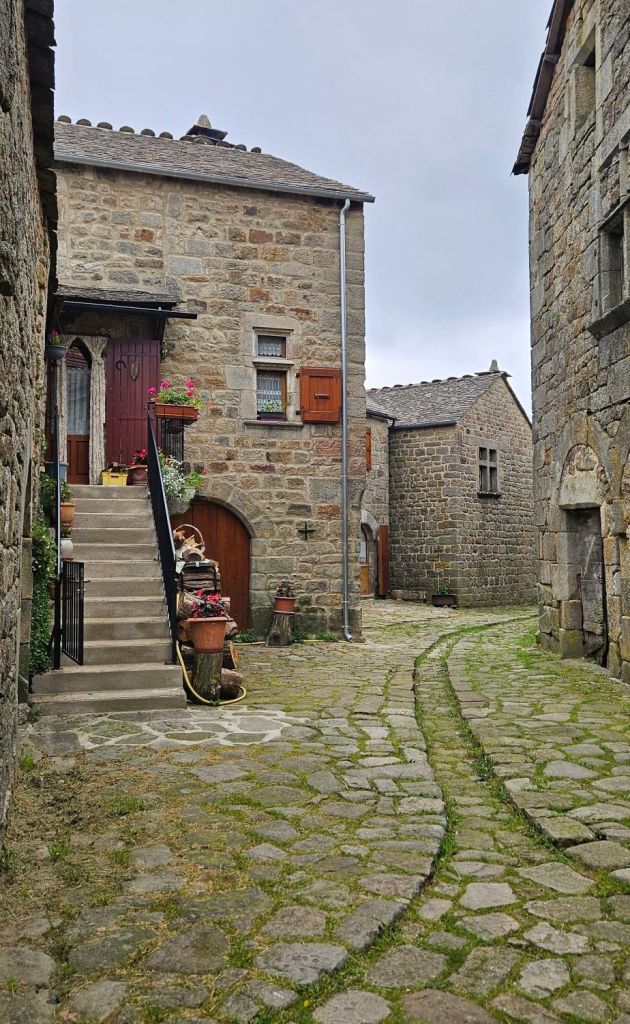
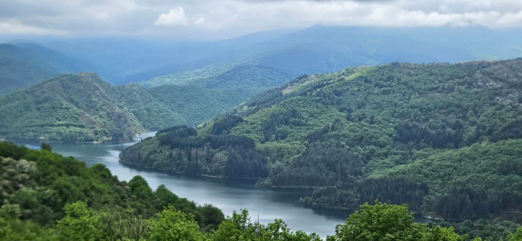
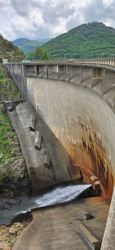
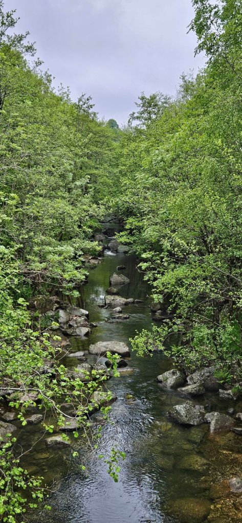
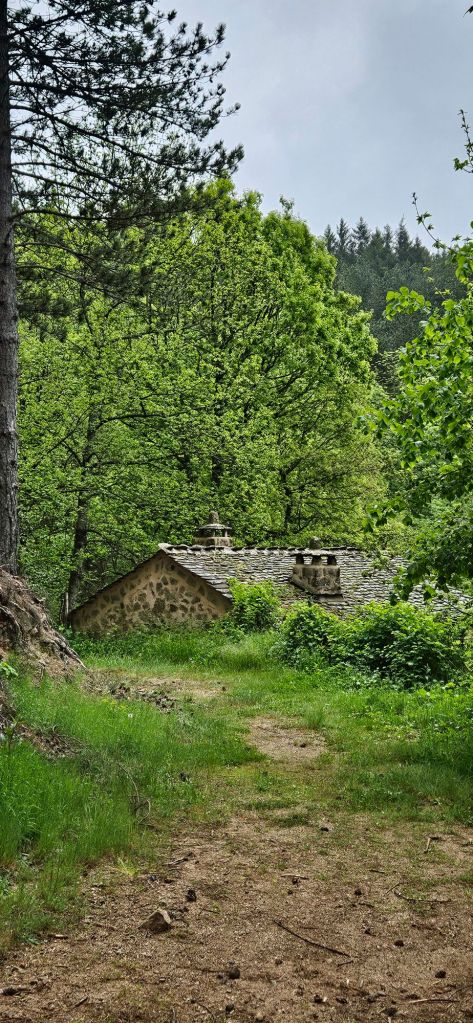
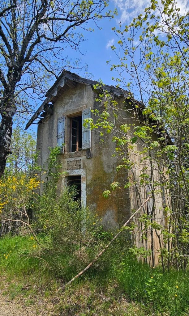
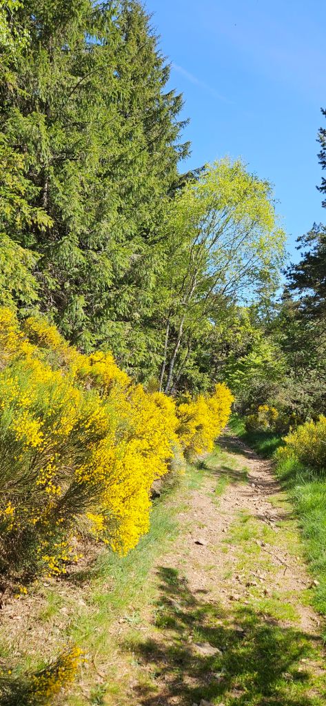
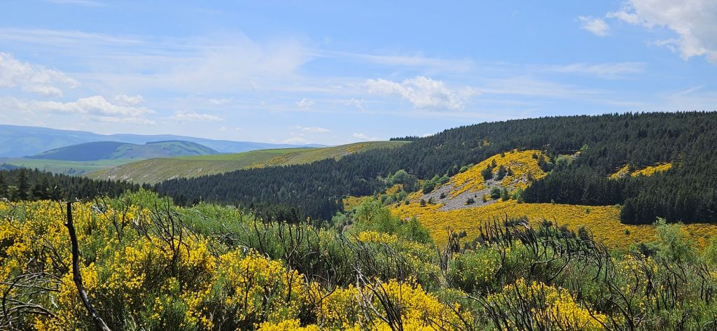
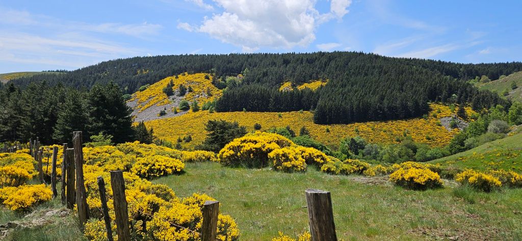
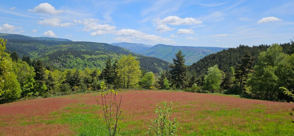
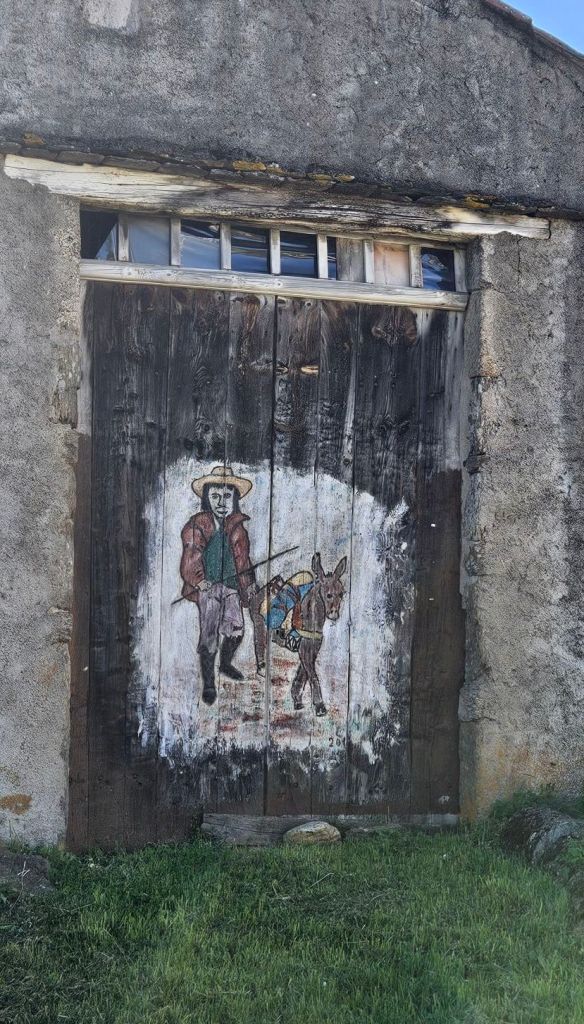
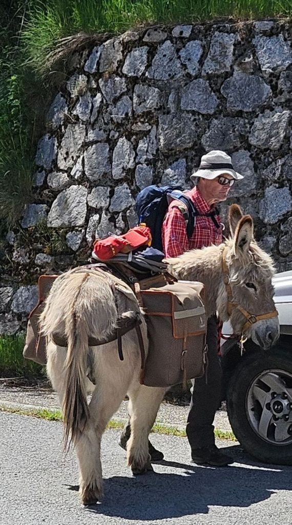
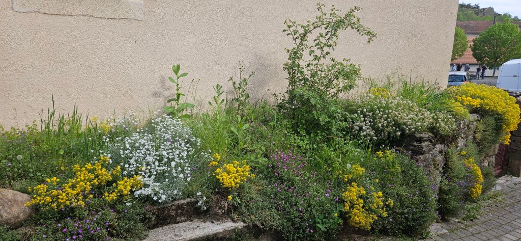
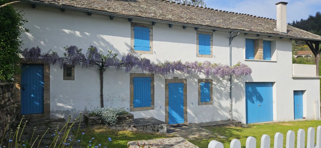
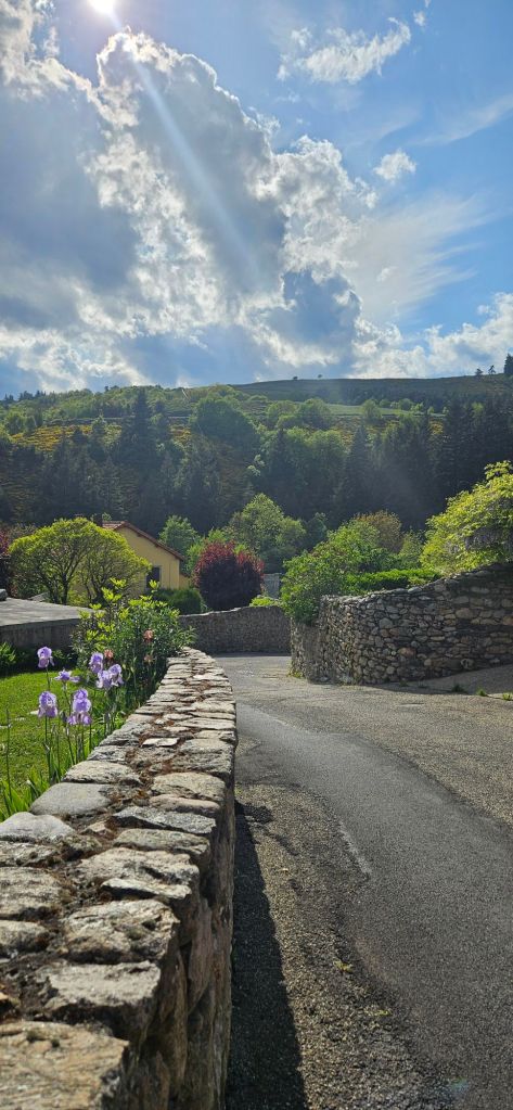
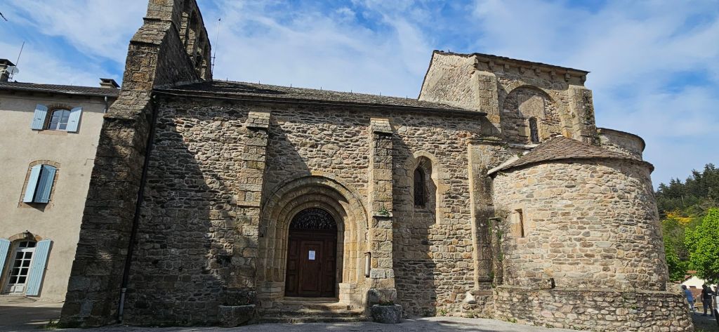
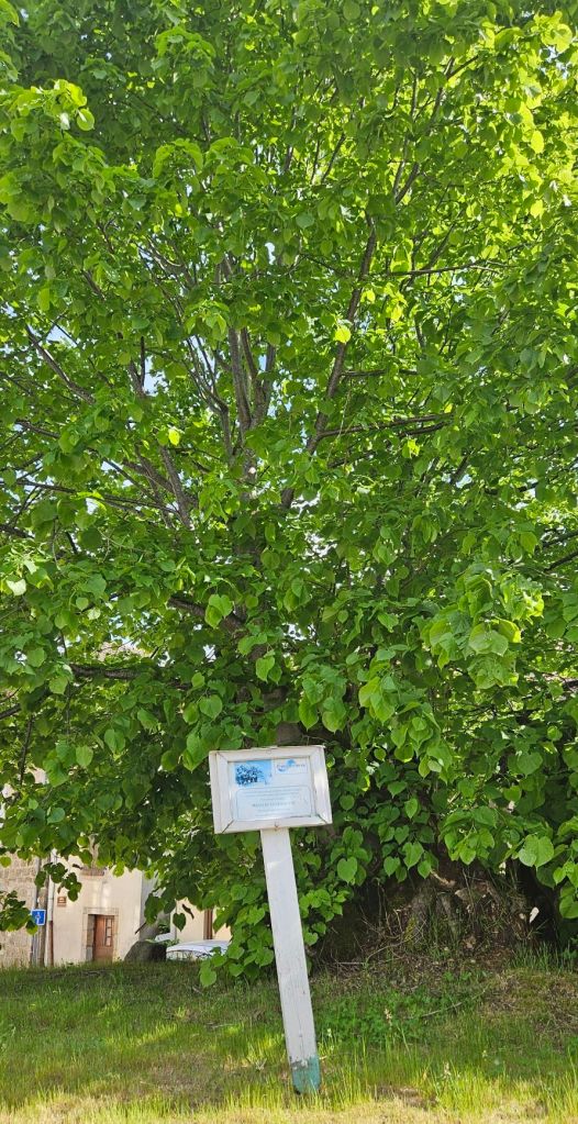
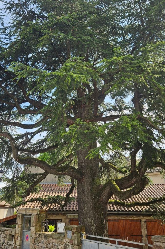
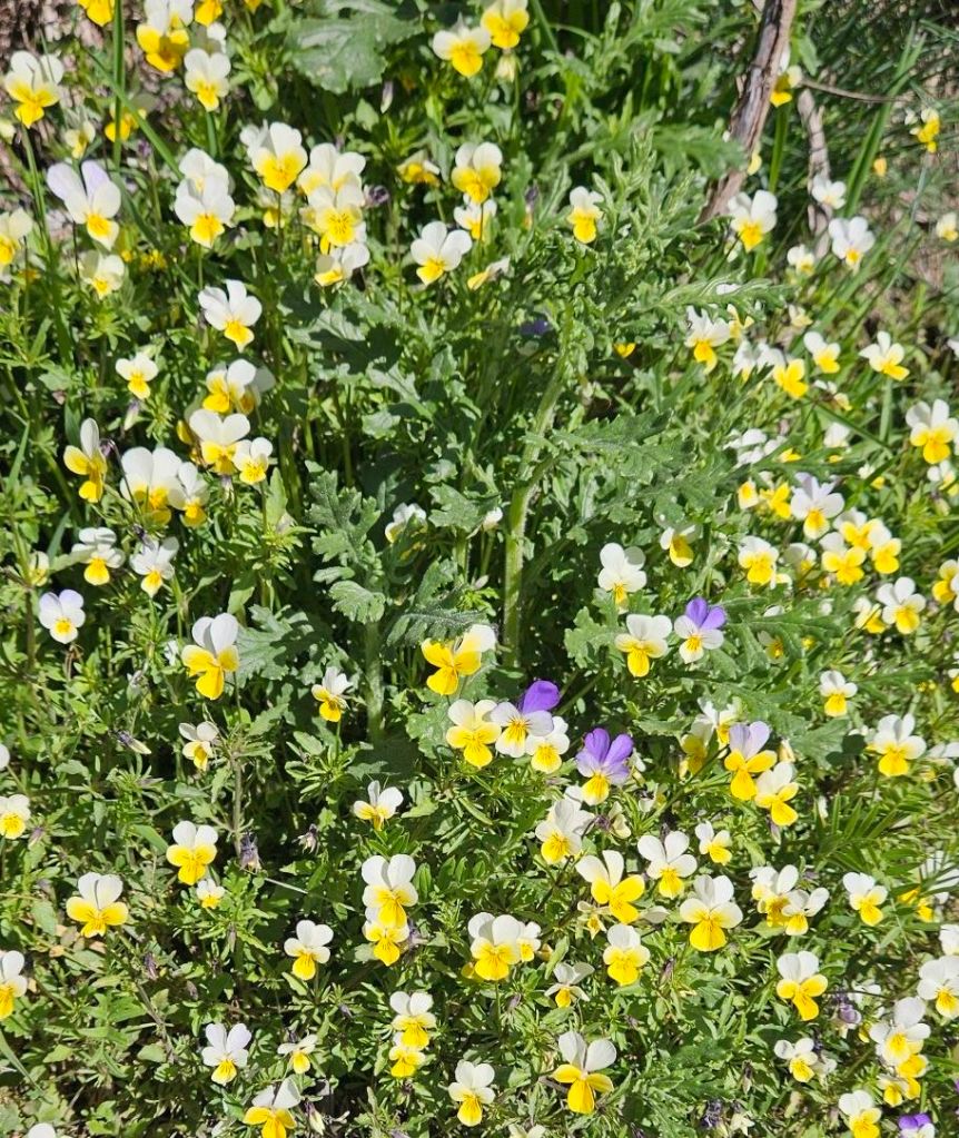
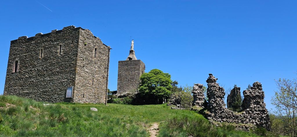
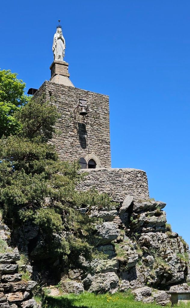
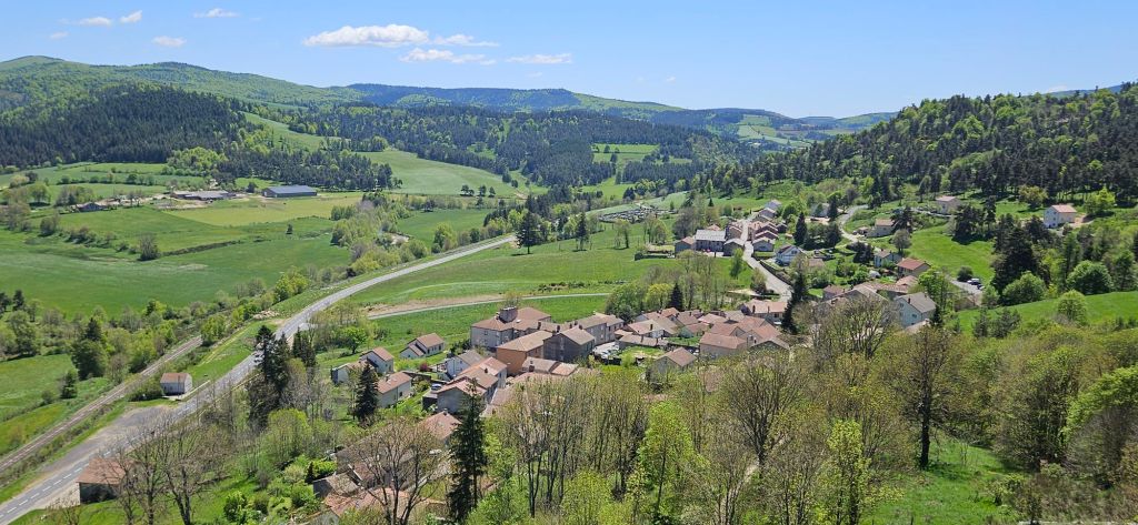
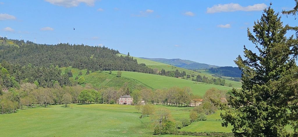
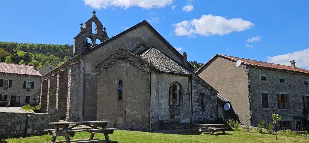
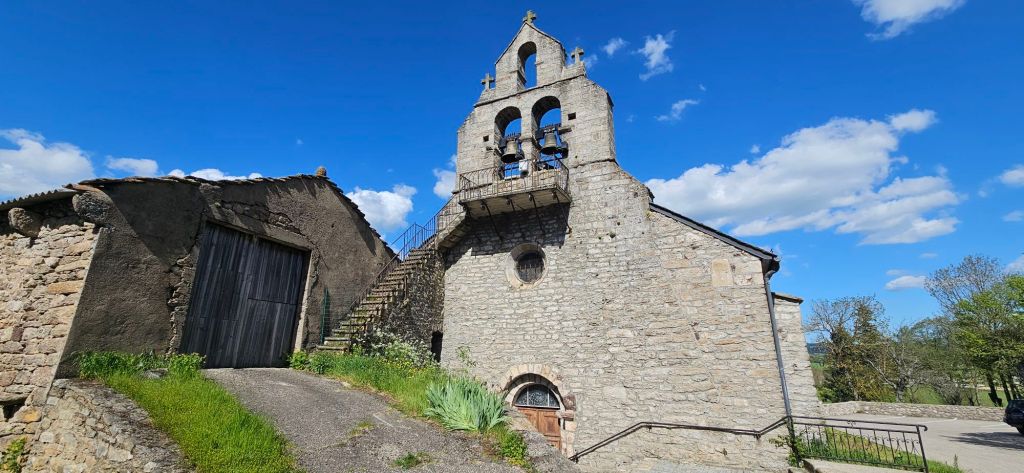
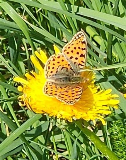
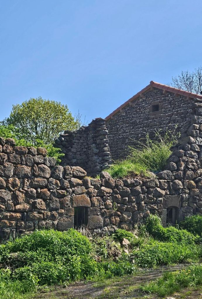
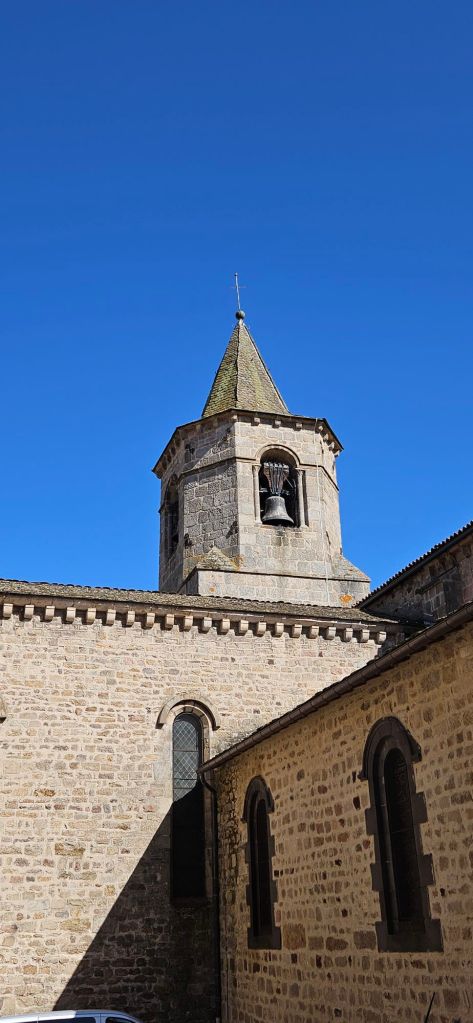
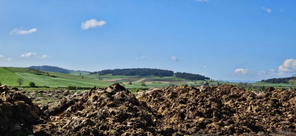
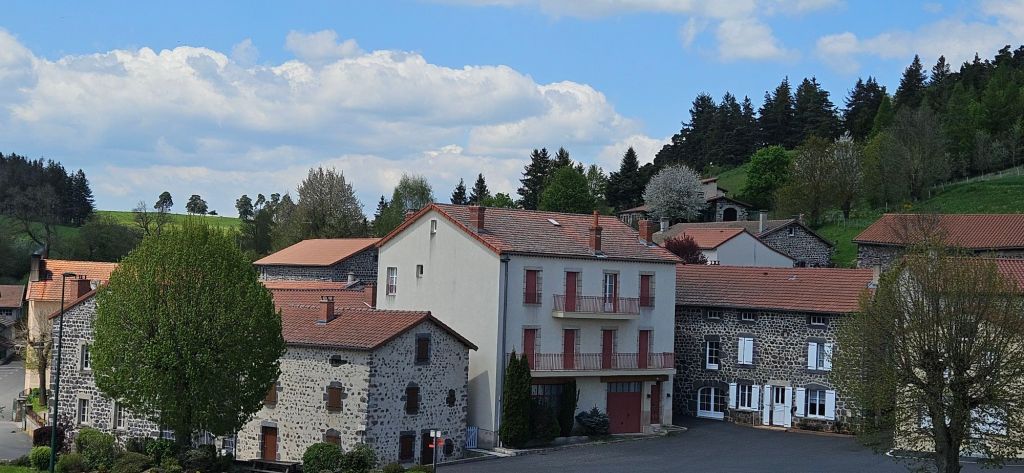
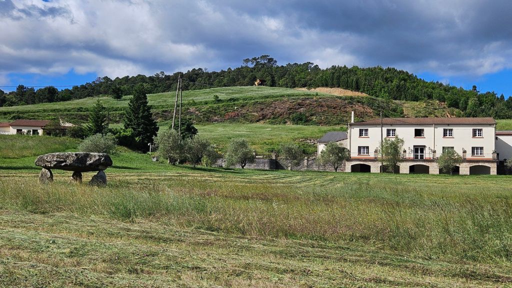
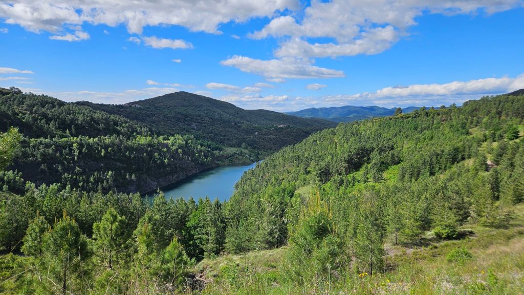
Here are a few photos from the day.

Shootings the path is overgrown
Alès is in the far background

I would have added pictures from the time we we were wandering in the forest, but we didn’t know where we were.

Four more walking days to St. Gilles

The last big hill

At least for this trip.   Todaìy we reached both the halfway point on the Regodane and the last long climb before leaving the mountains.   We are now heading downhill into the Mediterranean climate zone.   Here is the updated chart.

DAY 8: Génolhac to Le Pontil

If you would like to see the virtual trail video clip,  click this link.

A section of ancient road.
A more typical path

The Regordane was a mercantile route for several centuries.  At one time, they hauled material using carts,  and as the roads degraded, they began using donkeys.  That practice continued until the 19th century and train lines were created.   There are a number of sections that appear to have been roads, but those sections are interspersed with rocky terrain that is sometimes nearly impassable.

The humming birds here are enormous.   Hunters hunt them with shotguns and send dogs to retrieve them.
This is the remains of a coal mining operation,  with a long ramp used to move the coal to the rail line several miles away
The chateau in Portes is currently being restored
The trail passes right next to the chateau.
This particular castle was designed specifically to move horizontally and vertically like a ship through a waterboard.  (Hint: that’s a lame chess joke inspired by the similarity of the corner to the prow of a ship.)  I can explain further,  if needed.
A view of the area of the Cevennes we passed through the last few days.  This photo was taken as we reached Portes.

I actually felt a bit sad seeing these mountains for the last time in this journey.  Tomorrow we will hike to Alès (formerly spelled Alais) as we continue to drop in elevation to near sea level.  It will be warmer and start becoming more densely populated as we approach the Mediterranean coast.

Génolhac to Le Pontil

Aah! It’s already 10:36. We arrived between 4:30-5. 13 miles today, not the most difficult terrain, but today I felt it. (Could have taken a nap in the shower.) Especially the last hour and those dang rocks and roots. A serious lack of balisages didn’t help, having to deduce the route and hope to see a marking. Good news is, it always worked out.  I then think of pilgrims in the middle ages – how did they follow a route? Was it more obvious back then? Were they on the well traveled commerce route and not traipsing through the woods? Though it would have been through woods. We think we were on another bit of Roman road today.

Seeing more of these lately

Seems we entered Protestant country today. Saw one Protestant church and a stylized Huguenot cross on a house. No photo of that, but there was also this building.

Camisards were Protestants
Hotel Le Chalet – we were the only guests

Stayed at the above in Génolhac last night. The night before in a similar faded glory Hotel Balme in Villefort, though Balme was better. Still the dinner at Chalet was great (rogail de saucisse) and thank goodness for that as it was the only place to get a meal.

A lot of these small towns we walked through have well maintained homes that are closed up. We think that, like in Luc, many are vacation homes as the Cevennes National Park is so close.

Creative people:

Several of these along the last two miles
I want to make one.
Notebooks inside to leave a message
Chateau de Portes
A bit of road walking today
A welcome respite for lunch – the ubiquitous ham, cheese, French 🥖

Time to call it lights out. 😴

Onward

Day 7: Villefort to Génolhac

Today’s hike was fairly manageable,  for the most part.  However there were two sections that made me question either my own sanity or that of the people who chose  the route for the GR700.  These portions were extremely steep with loose rocks and basalt,  still slippery from last night’s rain.   The Alltrails app, which I have been using as a guide, indicated that some portions of those segments exceeded 50% incline (that means greater than 45 degrees). 

I have been learning more about using the AllTrails app and figured out today how to  make a hyperlink to the daily recap as a hyperlink.   The recap is a short video clip that traces the trail in something akin to a virtual reality format.   I find it pretty impressive.  As far as I can tell,  there is no way to test this link until this post is published.  I hope it works. https://www.alltrails.com/en/explore/recording/activity-may-20-2025-761b42c?i=SyFH7k83i6QwpcBXCblxpqHX9gxWT91M&utm_medium=tagalong&utm_source=alltrails_virality

A museum for the materials of previous life.   It was too early to visit. I had just recalled the phrase “don’t get your panties in a wringer” and we were wondering if kids today would know what a winger is. This museum showed up a few minutes later.
These Crucifi (what actually is the plural form of crucifix?) Have made a great comeback since the Wars of Religion in the 16th century.   During that time,  strict believers in the first commandment destroyed all they child find.
In Concoules where the locals still at that an anecdote from the towns last was the inspiration for Peter and the Wolf

I did not take very many decent photos today.

Villefort to Génolhac, 20 mai, 9 miles

Cows lazing around at the site of a former tile factory. Tuilerie means tile factory. Now I wonder if the Tuilerie Garden in Paris was a tile factory site.

Re above: there was a big sign on weathered wood. About a tuilerie.  And a chief Camisard. A staircase going steeply (of course) up. A gate to the staircase with a sign to close said gate due to animals. Surreal

I have written a few times (a lot?) about rocks and the challenges of walking on them. So, yes, more today. What i haven’t written is how that challenge keeps you focused. In the moment. If you want to look around and see the scenery,  you’d  best stop, and just do that. Otherwise,  you could be over a cliff, rolling into a sprained ankle, or landing on your butt.

Only started seeing these signs since Villefort.

Another sign:

Top – Concourse, the village we were in. The next two – left arrow is where we’re headed; right arrow is where we started. 

Oh! Speaking of signs, a black snake crossed, right to left, in front of me yesterday. Omen? Portentious? Positive or Negative?

Rushing, gushing stream

So many streams, rivulets, and waterfalls today. Ah, the sound of water…soothing.

A forest of ferns

While some broom is still in evidence,  the massive amounts of two days ago are no longer.

Yes, these still exist.

The day started off cloudy and drizzly, but had turned to just cloudy when we hit the trail. Mid day looked ominous and a wind was whipping. It soon cleared. All in all, a gorgeous day for trekking. Even up that 55 degree grade. It was long too, making it the first time on this hike that I trilled the Rocky theme song at the top.

See that little Jesus? I found one on the Chimayo Pilgrimage,  brought it with me, and left it there.

Long day tomorrow, about 13-14 miles . Bye for now.

The journey so far

Paula has been keeping up with the day to day of our current travels, and I have been remiss.  Here is a little background on the hike we are taking.

The trail is called the Regodane, which is an old trading route dating to the Roman Empire.  The route also is a was a popular pilgrimage route,  the Chemin de Saint Gilles.  The Chemin is roughly parallel with and frequently intersects with the Robert Louis Stevenson Trail. 

The Regodone, also known as GR 700, starts in Le Puy-en-Velay and ends in Saint Gilles on the Mediterranean coast and is approximately 150 miles long.

Following is a quick summary of our hike so far,  with limited commentary and a few photos.


Trail Overview

I am preparing this post in Villefort, which is located about where the blue dot shows in the map, approximately 60 miles from the start.

Trail Elevation Profile

The trail begins at 2100 feet in elevation,  rises to 4000 feet, and ends at sea level.  Saint Gilles was a seaport in the middle ages and is now several kilometers from the sea.   Either they’ve moved the town or the sea level is not as high as it once was,  equally implausible options given modern ways of thinking.

DAY 1

This day left me drained, and I collapsed into bed as soon as we arrived at our accommodations.  I fought the urge to give up all day long.   I can’t explain this condition since I had trained for months on tougher trails at higher elevations,  carrying the same weight. 

I took a course many years ago where we examined what could be universal human experiences.   One of those was the experience of “enough.”  Enough, not in the sense of “sufficient,” but on the sense of “no more.”  One of the benefits of a a long hike is that you can reach the point where you’ve had enough physical effort, but you can not quit.  What lies beyond enough?  More lies,  possibly. 

Since that first day, we have had bigger challenges, but i did not have the fear of impending defeat as i did on day one.

Day 2

We continued to gain elevation but the day was much easier.   I actually took photographs.

A field of rapeseed
Landos at sunset
Day 3
Paula can’t let an animal go unpetted

Madonna and child above the portal
La Pieta advice the portal
Day 4
The Virgin overlooks the town of Luc
Day 5
Day 6
A path covered in clover was not an accurate harbinger of the day
An ancient road.   Perhaps Roman?

Prevenchères to Villefort

Hello wondrous wonders!

Top photo of the day, even though it won’t capture the majesty of the view. Hint: if you can, view the photo in landscape or at least expand it.

These massive limestone cliffs rise up from the river Chassezac.

We encountered the above just before arriving at La Garde Guerin, a fortified 12th C “city”. It’s  very small and is now renowned as a lunch and gift shop offering local ingredients honey, confiture,  wine, beer, lentils and more) as well as high quality handmade items like wool slippers and incredible hand knitted thick sweaters from local wool. I would have bought both if traveling in a car.

La Garde Guerin from afar
Ed walking to the tower.
Newer Garde Guerin

You can tell from the photos that it was overcast today. Rain and thunderstorms threatened, but never materialized. It was comfortable weather for walking. On the other hand, walking was not comfortable at all. Compare: walking from Langogne to Luc, almost 8 miles. We got there in 4 hours. Meanwhile,  Prevenchères to Villefort was about 9 miles, and it took a whole hour extra. Which, now that I think about it, is not bad, given the nonstop rocky terrain, including long stretches of the rippled undulating volcanic rock.  We did have a few respites – walking on cushy pine needles for a too short while and another short bit lakeside.

Dammed lake – looked like fjords of Finland.
The dam – technological wonder
So many streams here!
Abandoned home in a great location – running water through the property. 

I wonder about these homes in the woods. Were they once farming homestead? Were they abandoned during the religious wars? Was it a Protestant or Catholic family forced to flee?

I’m going to take a bath now. This hotel has a long and deep tub that i must use to my advantage. I leave you with this image, the other name for this route.

In Villefort

Beau rêves …

Luc to Prevenchères 18 mai

In no particular order, here are memories of the day…

Breakfast/le petit-déjeuner is generally coffee, bread, confiture, honey, butter. No plates. Just make a mess on the table.

I wish I could transmit the fabulous aroma of the broom in bloom which has always been with us on this walk, but no more so than today.  Oh, so sweet, but not cloying. When the going got a little tough, I breathed deeply and smiled.

Broom and trail
Broom vista
Broom, vroom or vroom broom?

Broom, as in Spanish Broom or Scottish Broom,  but these grow more closely to the ground.  Same flower though.

No room with a view

We sat on a trailside berm for lunch with the above view for our dining pleasure.

We walked on quite a bit of petrified lava today. The ripples and undulations make for trippy walking. Though neither of us tripped a bit. It also has a beautiful silvery sheen in the sunlight.

RLS and Modestine

I probably mentioned that our trail sort of parallels the Robert Louis Stevenson trail and at times intersect. There are many references to RLS along the way.  The above being one of my favorites. 

A German with a donkey

Some people think it’s worth over 600€ to rent a donkey for a 14 day hike. Then they wear a backpack instead of having the donkey carry their stuff. Who’s the ass?

Had such a fun encounter with folks today. We were heading into Prevenchères and heard/saw some folks outside. I called to them to ask about the Auberge we were headed for. Well, that went into an extended conversation with 3 good buddies of 40 years who all worked for SNCF, the French RR company. That turned into an invitation to try some Verveine alcohol. Yes, of course. More conversation in a mix of French,  English,  some Spanish. Did I get a photo? 😦

I’ll  end with some images of Prevenchères.

12thC
Inside the church

Finally, two photos of trees that are hundreds of years old. They are so venerated that there are plaques describing their history. That’s what I love about rural France 🇫🇷.

Le Tilleul
Le Cedre

And with that, I wish you bonne nuit or bonjour  – whichever makes sense for when you receive this missive.

Langogne to Luc May 17th ’25

Wild Johnny-Jump-ups

What a day for walking… We started on pavement getting out of Langogne, then onto gravel. It was a pretty steep climb out of Langogne. Throughout the day a mix of gravel and earth trails. Less road walking today than yesterday,  more walking by fields and through forest. Oof, then a steep decline, picking our way through rocks, to Luc.

Just before that steep decline, we came upon the remains of a chateau. Robert Louis Stevenson wrote about having a meal there in 1878. He was served an excellent repast by an old woman in a veil. I think he ate some mushrooms…

No one is dining here now.
Mary atop the dungeon. Something ironic about that.
We were able to enter the dungeon via the door you see above,  under the bell. Then climbed the stairs up to the parapet at the base of the Virgin. The wind was fierce. The view of Luc, wonderful.
Luc
The view from the church yard
Back of church
Built in 1835

Luc is the first small town we’ve stayed in on this route that I really like.

A bowery walk

We had a short walk today, made even shorter when we found a shortcut on the map – cut off about a mile. Plus it was a nicer route through woods and not on the road.

À demain

2 days of hiking

I was too tired last night – felt like I was coming down with a cold so went to sleep early.

Trying to capture the allure of mixed live and gone-to-seed dandelions.
This butterfly was not giving up this flower!

Felt fine today for an 11 mile plus hike through more meadows and pastures, lush green grass, and more wild flowers.  When wind blows over the grass it undulates and looks, especially from a distance,  like water. It’s mesmerizing. When the morning sun shines upon it, the brilliance bedazzles.

Cold start to the day. It was about 36 degrees with an icy wind. Thankful for the sun. It did make for comfortable walking!

Noticings: roadside crosses here often have a Christ placed on them. Not something we saw hiking the Chemin de St Jacques.  How calming it is to walk amidst a vast amount of green. Wild birdsong nonstop! The great rush of wind in the trees. The comfort of having a warm buff around my neck to keep that wind out.

The stonework of the area
Most of these bottles are various flavored syrups which are very popular in France. West of here, most often enjoyed in water. Here it’s popular in lemonade, and even beer!

12th C! The 1100s. Catholisme was well entrenched here. Then Calvin, a follower of Luther, trained a bunch of priests to spread the ‘Truth’. It got ugly. The Catholics routed out the Protestants by burning their homes and farms. Many escaped to Switzerland where it was safe. The Protestants of course retaliated. The above church was damaged. The Camisards fought back, but in the end were subdued. The area Robert Louis Stevenson walked through is still Protestant territory. Please excuse the truncated history lesson which is certainly not deeply researched.

12th C church

Most people we’ve met at Gîtes are walking the RLS. Have only met 1 guy from Bretagne, walking La Régordane.

We spent last night in Langogne and the night before in Landos. There are not many villages on this trail; there are hamlets – clusters of homes. They are very quiet…we don’t see people outside, save for a few men working in the barns. A few cars when we’re on road,  tractors off road.  Roads/farm trails are so narrow we stand well off to allow vehicles to pass.

The trail is mostly well marked,  though at times we have had to retrace our steps due to confusion or missed ballisages – the marks used here are a white line over red for straight ahead.

With this arrow means right turn
A steaming (literally) pile of …cow manure, dumped in fields. Sometimes they smell,  sometimes not.
Downtown Landos

Today we head to Luc. Signing off…