Paula has been keeping up with the day to day of our current travels, and I have been remiss. Here is a little background on the hike we are taking.
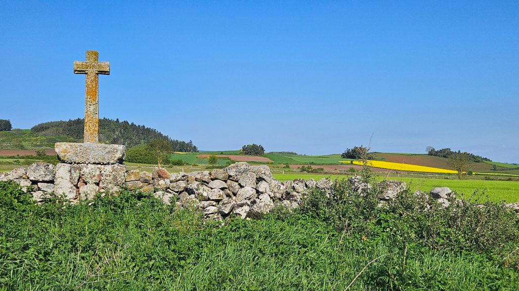
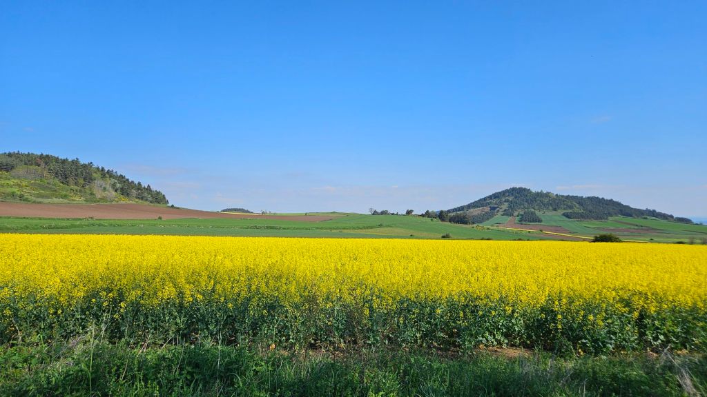
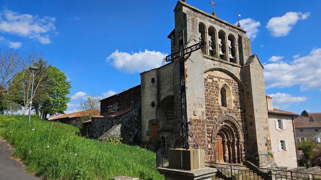
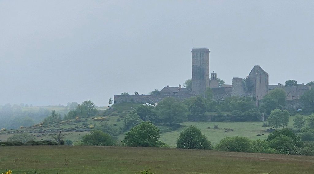
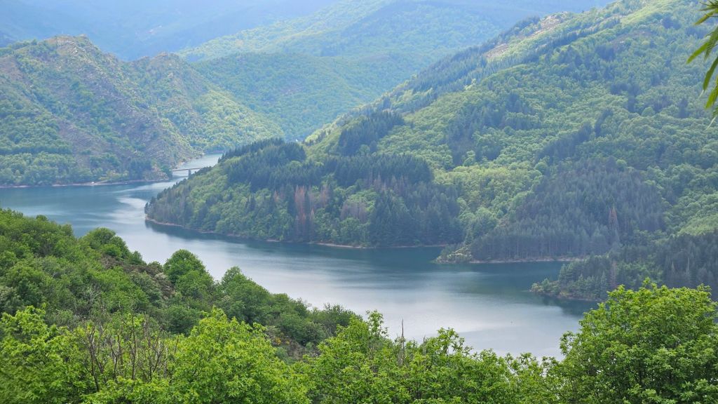
The trail is called the Regodane, which is an old trading route dating to the Roman Empire. The route also is a was a popular pilgrimage route, the Chemin de Saint Gilles. The Chemin is roughly parallel with and frequently intersects with the Robert Louis Stevenson Trail.
The Regodone, also known as GR 700, starts in Le Puy-en-Velay and ends in Saint Gilles on the Mediterranean coast and is approximately 150 miles long.
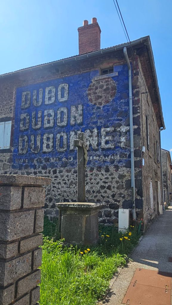
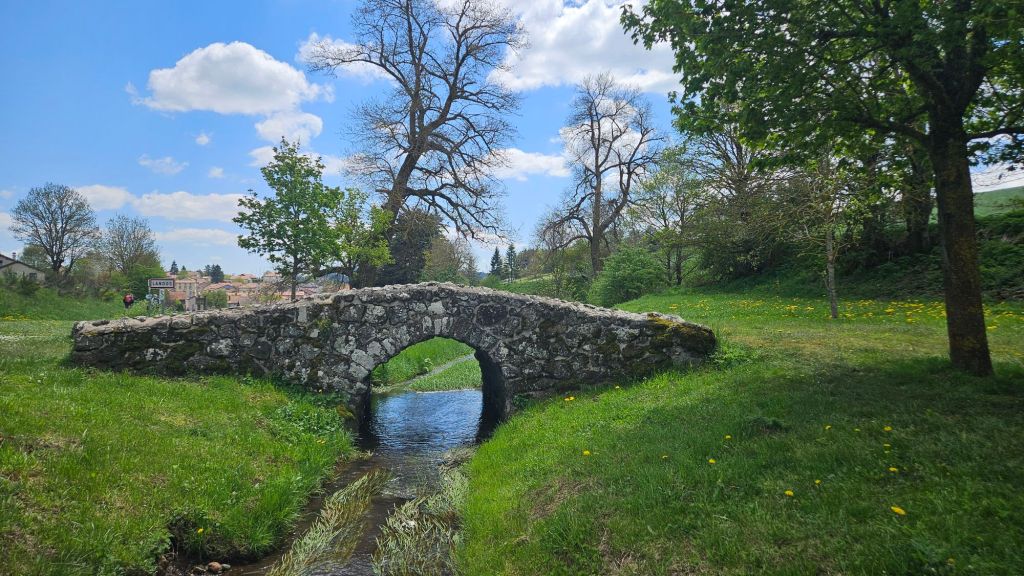
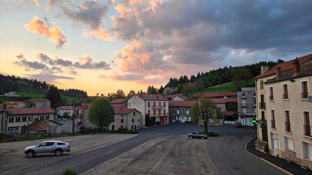
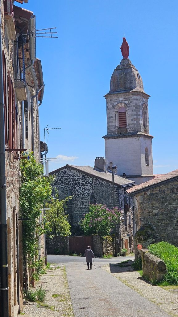
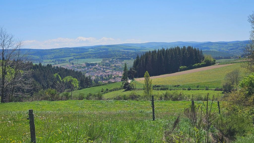
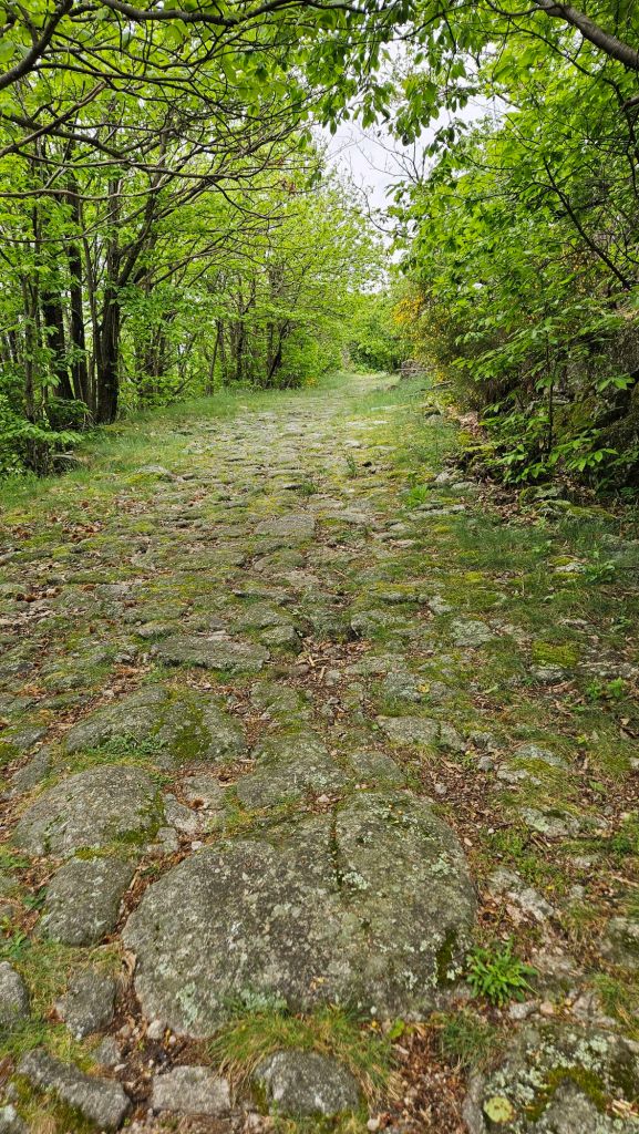
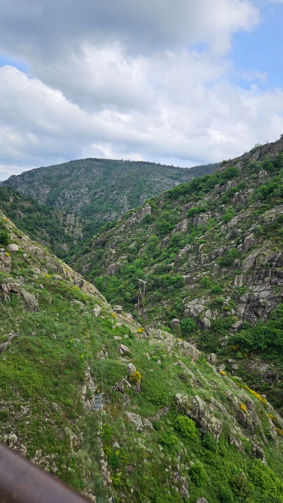
Following is a quick summary of our hike so far, with limited commentary and a few photos.
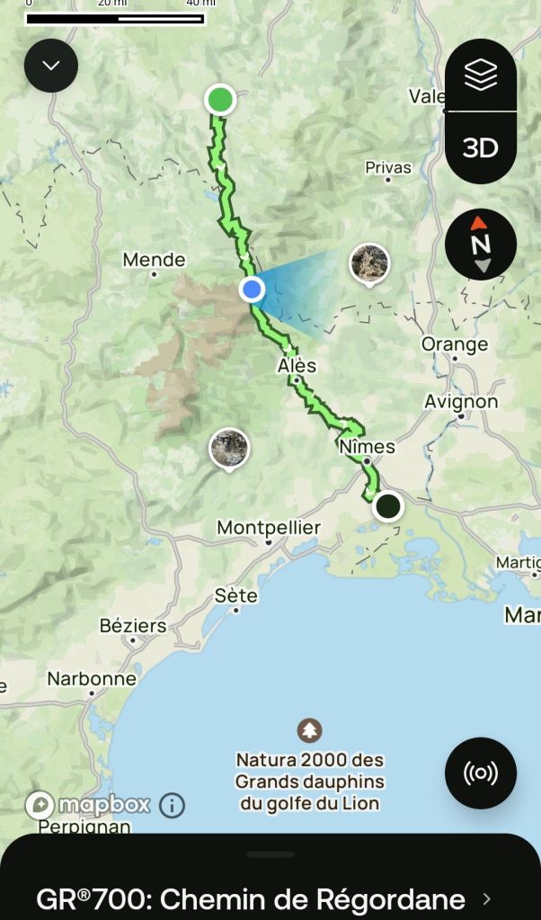
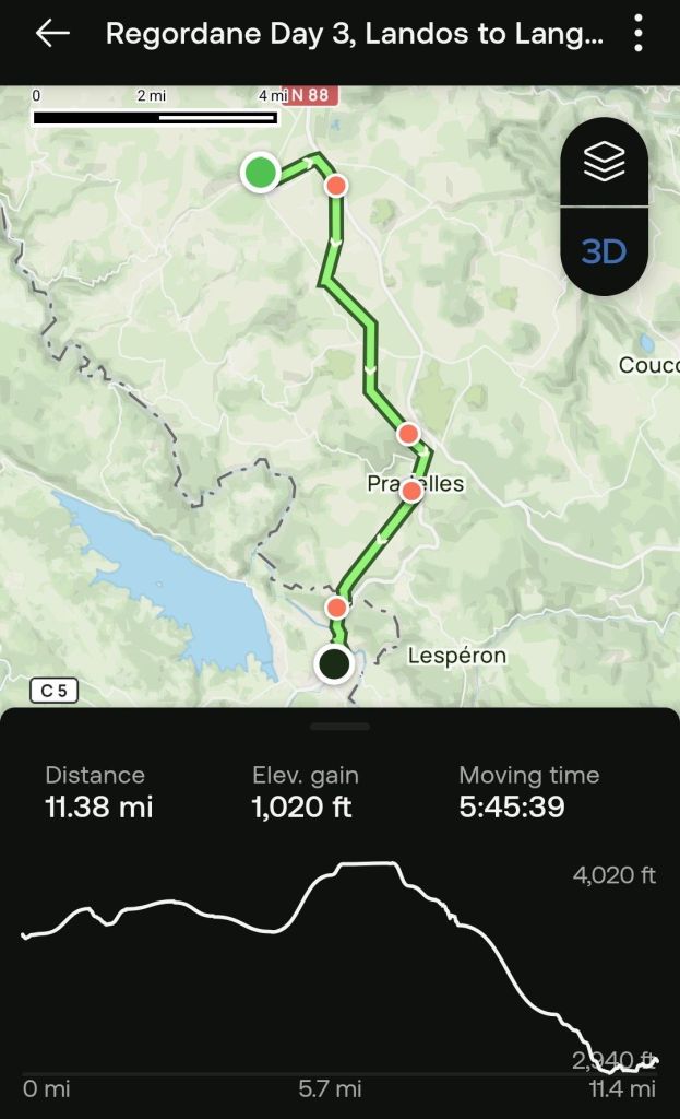
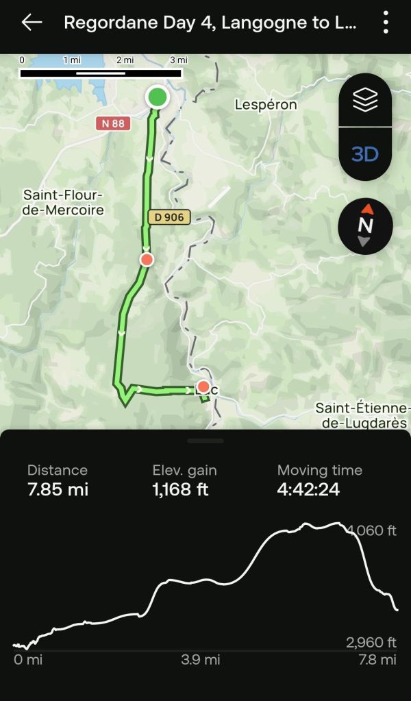
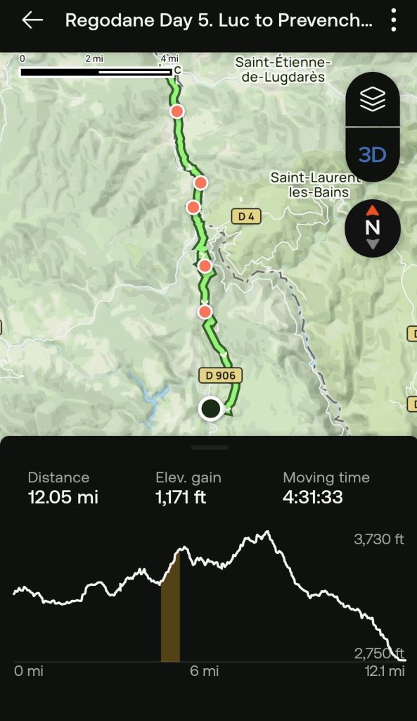
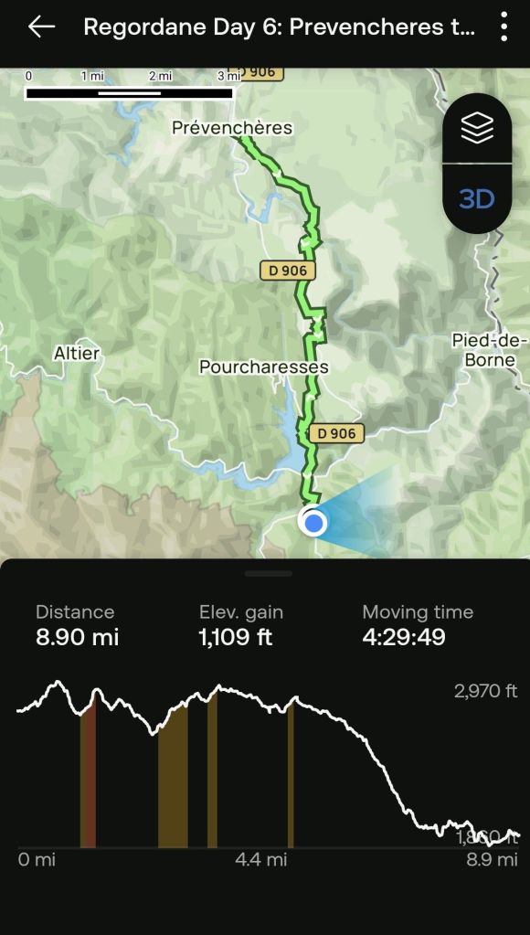
I am preparing this post in Villefort, which is located about where the blue dot shows in the map, approximately 60 miles from the start.
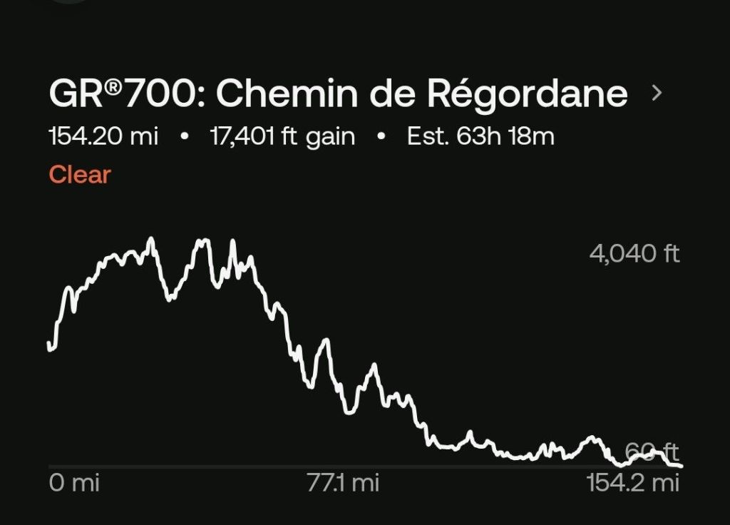
The trail begins at 2100 feet in elevation, rises to 4000 feet, and ends at sea level. Saint Gilles was a seaport in the middle ages and is now several kilometers from the sea. Either they’ve moved the town or the sea level is not as high as it once was, equally implausible options given modern ways of thinking.
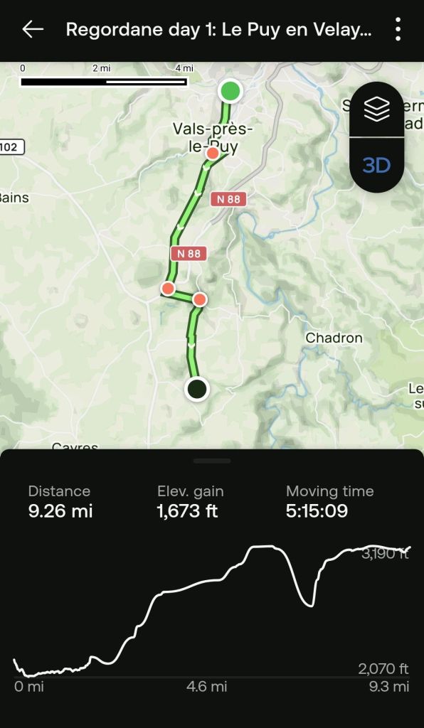
This day left me drained, and I collapsed into bed as soon as we arrived at our accommodations. I fought the urge to give up all day long. I can’t explain this condition since I had trained for months on tougher trails at higher elevations, carrying the same weight.
I took a course many years ago where we examined what could be universal human experiences. One of those was the experience of “enough.” Enough, not in the sense of “sufficient,” but on the sense of “no more.” One of the benefits of a a long hike is that you can reach the point where you’ve had enough physical effort, but you can not quit. What lies beyond enough? More lies, possibly.
Since that first day, we have had bigger challenges, but i did not have the fear of impending defeat as i did on day one.
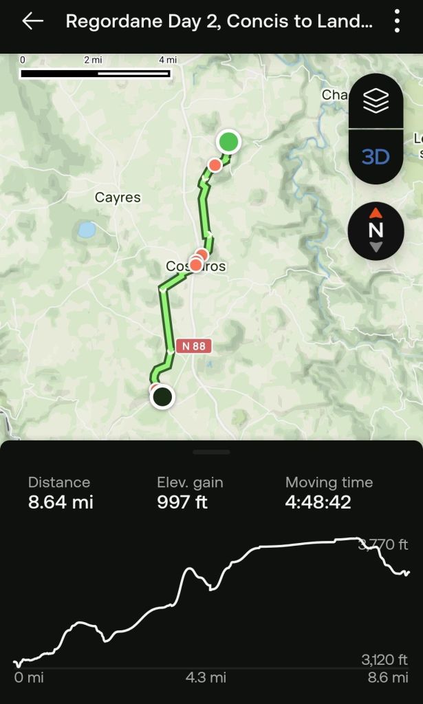
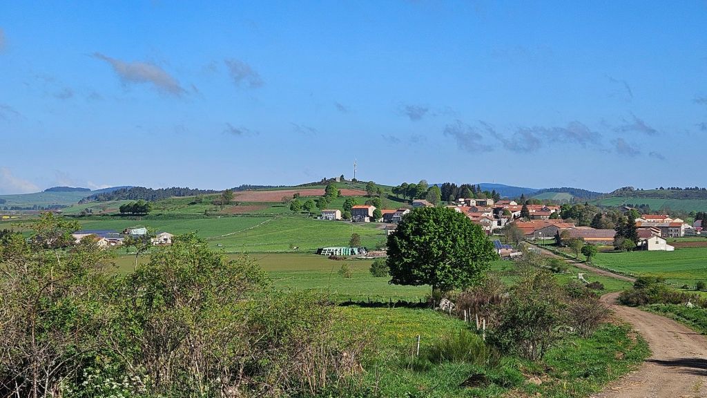
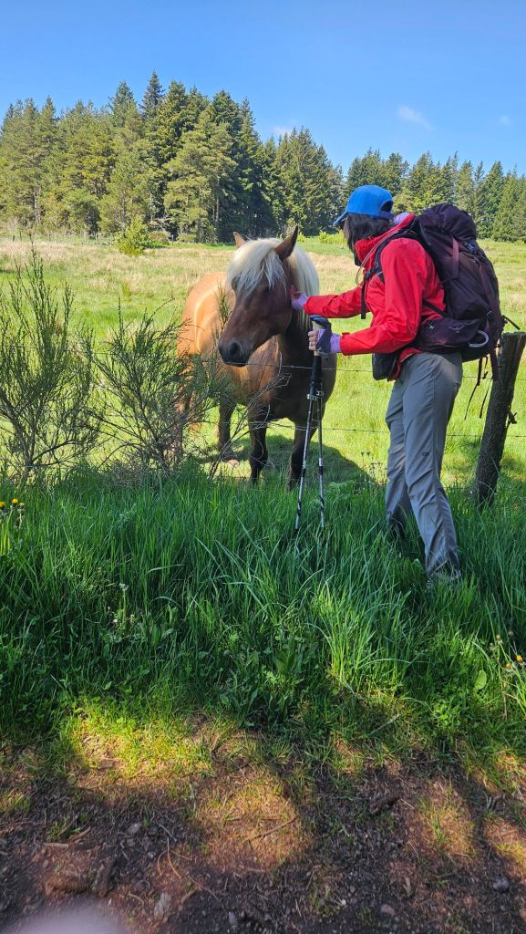
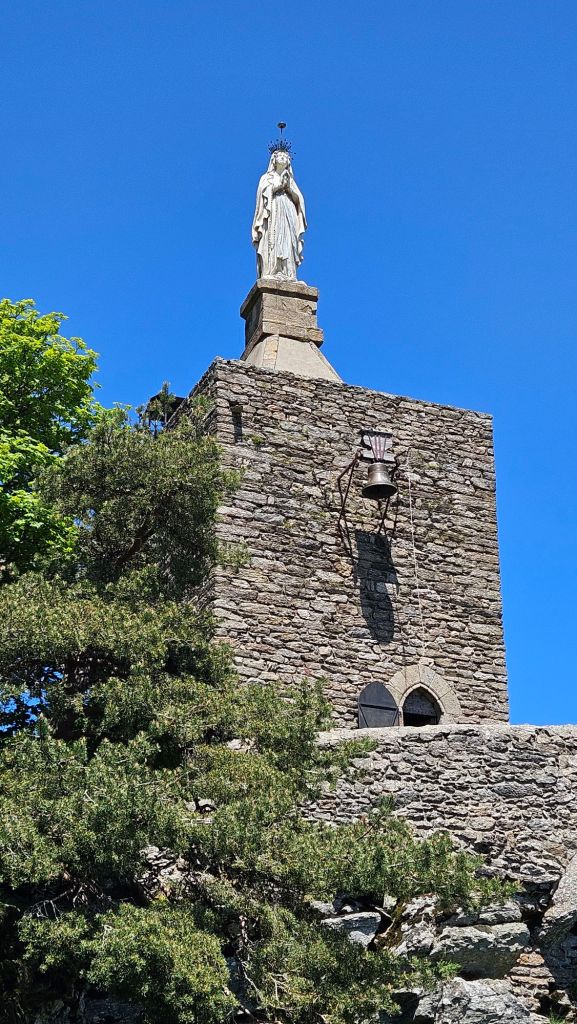
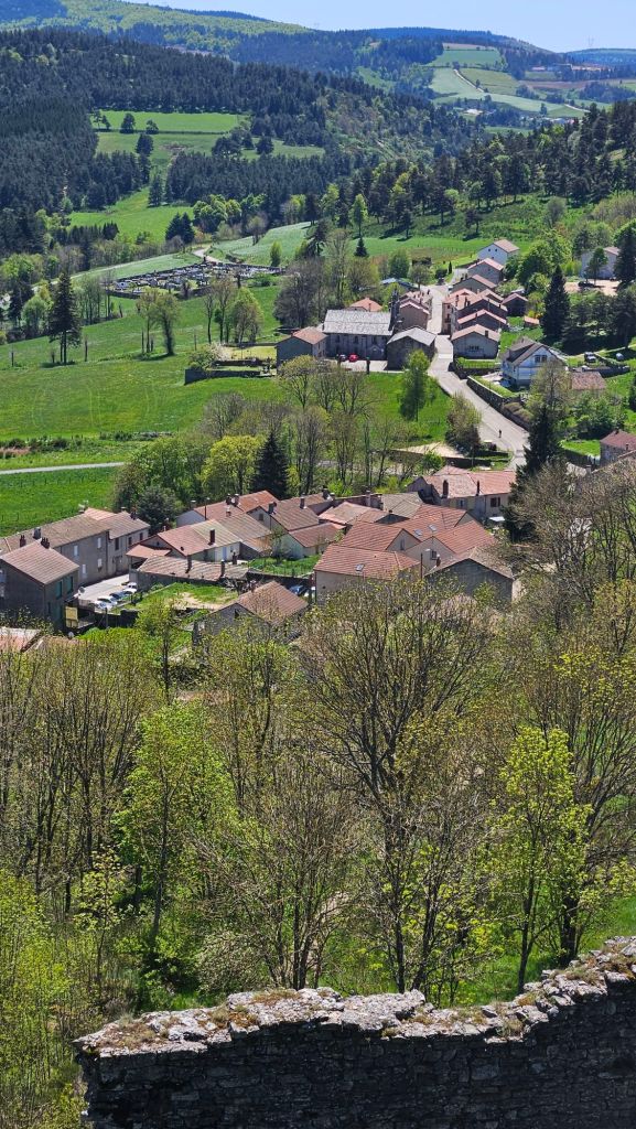
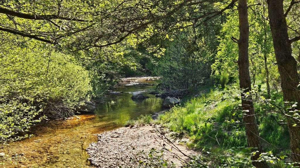
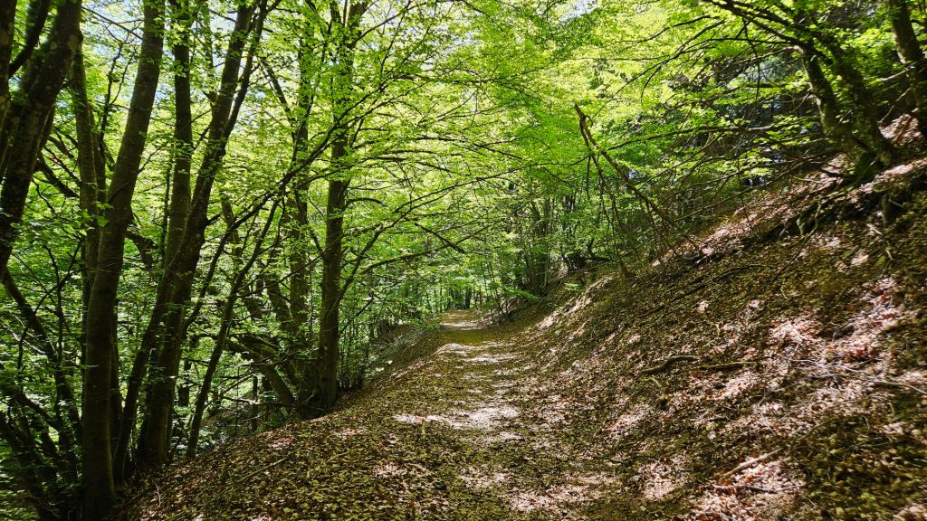
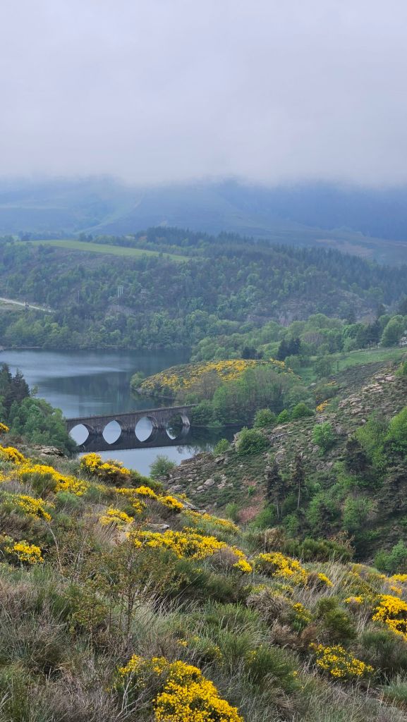
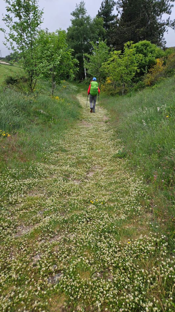
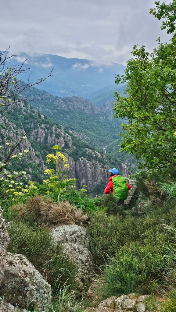
We continued to gain elevation but the day was much easier. I actually took photographs.


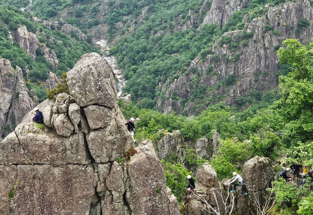

Incredibly beautiful, Charlie! Much more dramatic terrain than we have had. I know the feeling of not being able to go on! I think we have finally succumbed to it after two weeks of keeping on.
LikeLike
St. Gilles has a river and canals surrounding it. Maybe once used to access from the sea, also Camargue marshes nearby.
LikeLike
Thank you, Charlie. This was really interesting and got me oriented to exactly where you are. Enjoy and just have fun. Luana
Sent from my iPad
LikeLike
Charlie, These are fantastic pictures along with the detailed maps of you day-to-day travel. Thanks for bringing us along so we might vicariously enjoy the trek.
LikeLike
So Beautiful Charlie. What an experience. Our trip was amazing but you get to see much more of the countryside! No harm in staying put in one place for a couple of days to regroup. It’s not a race…..Relax and enjoy every moment.
LikeLike
Thanks, Pamela. We plan to take a few days in Nimes, which we understand is a beautiful city. There really hasn’t been any place we would have wanted to stay since we stayed the hike. We will need to get together to compare notes.
LikeLike