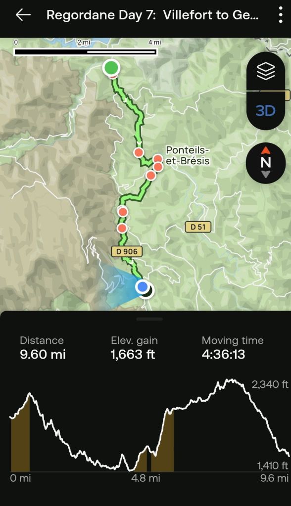
Today’s hike was fairly manageable, for the most part. However there were two sections that made me question either my own sanity or that of the people who chose the route for the GR700. These portions were extremely steep with loose rocks and basalt, still slippery from last night’s rain. The Alltrails app, which I have been using as a guide, indicated that some portions of those segments exceeded 50% incline (that means greater than 45 degrees).
I have been learning more about using the AllTrails app and figured out today how to make a hyperlink to the daily recap as a hyperlink. The recap is a short video clip that traces the trail in something akin to a virtual reality format. I find it pretty impressive. As far as I can tell, there is no way to test this link until this post is published. I hope it works. https://www.alltrails.com/en/explore/recording/activity-may-20-2025-761b42c?i=SyFH7k83i6QwpcBXCblxpqHX9gxWT91M&utm_medium=tagalong&utm_source=alltrails_virality
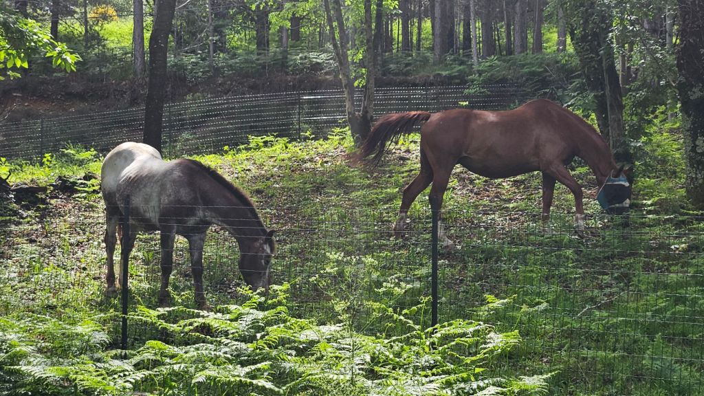
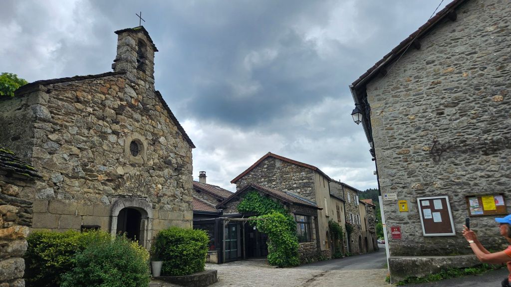
I did not take very many decent photos today.

wow! I have All trails and never thought to turn it on. We do have an app through Organic maps that shows the trail and where are. More useful than MM Dodo. Sometimes it even shows benches and picnic tables and gives opening hours of stores if there are any.
LikeLike
We found out today that AllTrails is not a dependable tool. Left us lost in the forest today and added considerable distance to our hike.
LikeLike
oh, no! That can happen! We followed some wrong trails on the Aragones, and some this trip that we probably shouldn’t have taken. I trust you eventually got out OK!
LikeLike
Google Maps saved the day, actually. W were able to get a bearing on the church in the next town and reconnected to the Regodane there.
LikeLike
All very wonderful and Beautiful! Have to figure out how to comment on individual phots / posts – Yet what an extraordinary venture!
Sending Love with hugs, blessing of continued safety and ease.
LikeLike
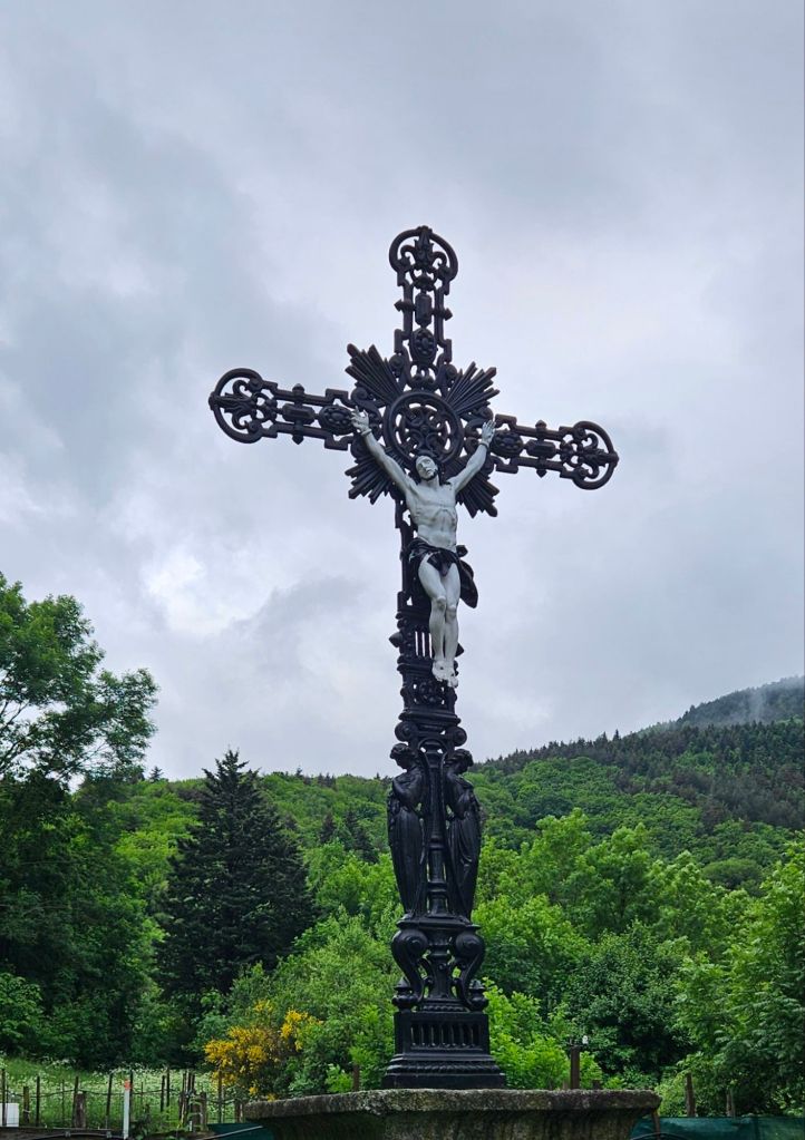
Wow Charlie, that crucifix is incredible! Stunning! We are really enjoying following along with you.
LikeLike